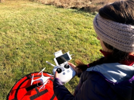
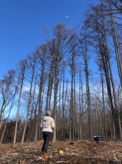
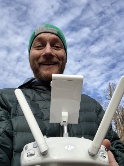
The Advanced Remote Sensing Imaging & Analytics Lab (ARIAL) is a new initiative to integrate the use of unmanned aerial vehicles (UAV), commonly referred to as "drones", into research, education and Extension activities in multidisciplinary programs and collaborative partnerships at UConn and beyond. UAVs, also referred to as Unmanned Aircraft Systems (UAS) have provided new ways to map, monitor and measure changes in our landscape. Faculty from CLEAR's Geospatial Training Program have been working with other Extension faculty and faculty from the department of Natural Resources and Environment in the launch of ARIAL with the goal of integrating UAV/UAS technology into CLEAR research projects and GTP workshop curriculum in the near future. A few pilot projects are described below. If you have any questions or would like to collaborate with the ARIAL team, please contact Cary Chadwick or Dave Dickson .
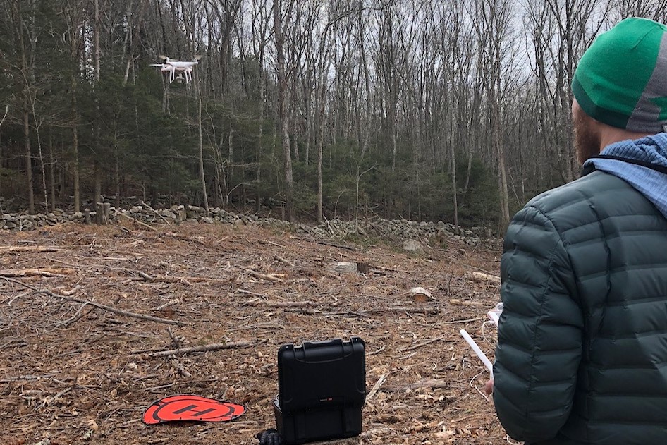
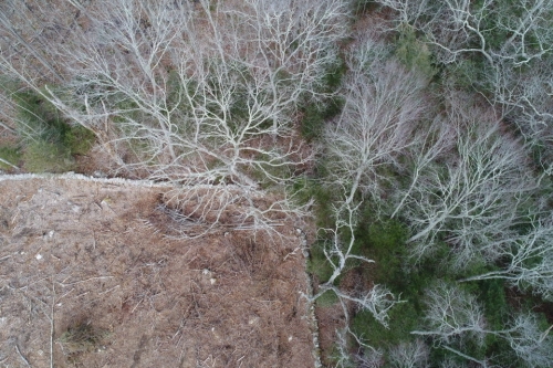
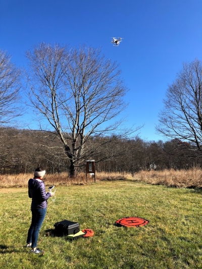
The GTP team recently flew over 30 acres of land that was harvested on a land trust property in southeastern Connecticut. The trees were removed as part of a long term stewardship plan to improve the health of the forest and surrounding ecosystem. Collecting high resolution orthoimages directly after the removal of trees will allow for detailed re-evaluation as the landscape naturally regenerates over time.
Starting in the summer 2020, the ARIAL team will begin a two-year project to collect, process and interpret the spectral signatures of nutritionally deficient fruit crops, specifically apples and blueberries, using hyperspectral sensors mounted both on UAVs and collected in-situ. The goal of the project is to be able to detect early signs of nutritional problems in these crops so that corrective measures can be taken by growers to positively impact the crop during the present season.