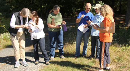
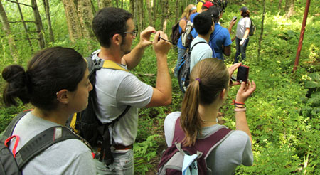
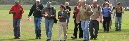
Providing technical, hands-on training in geospatial technologies, outside the traditional academic environment, to municipal land use officials, staff and commission members to help solve local land use problems and to develop environmentally sensitive land use plans. Learn More
The course was very comprehensive, and an enjoyable atmosphere was created by the instructors. This class is an invaluable tool to the community at large. Bravo.
The workshop was great. The presenters were well prepared and made learning easy and enjoyable. Thank you.
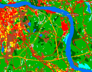
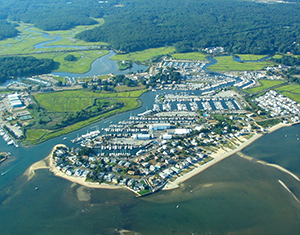
Check out the new, statewide 2016 high resolution aerial imagery on the updated CT ECO website!
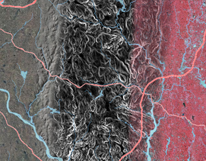
Connecticut and Long Island Sound Land Cover and Change - 1985 to 2015
Story Maps combine interactive maps with photos, videos, graphics and more. From bears to breakwaters, we’ve got something for you here. Check it out!