Important note: this is an ArcGIS Desktop workshop, not ArcPro.
This intensive three-day course introduces students to basic GIS concepts through the use of ArcGIS10.5 software. It covers a wide range of topics and is designed for people with little or no experience with GIS; however, familiarity with PCs, file and folder management, and basic computing chores is required.
The course is organized into a series of topics that focus on specific GIS functions. Each topic is presented and discussed in a classroom setting and is followed by a hands-on lab exercise that uses the GIS tools discussed and demonstrates how the tools can be used to display, create, manage and analyze GIS data.
Course exercises are geared towards natural resource management and community planning and decision making and make extensive use of a "typical" municipal GIS database and Connecticut's public domain geospatial datasets.
Topics covered include:
Class size is limited to 16 students. Please note snow dates for winter workshops.
Course fee is $400.

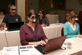
Students at the GIS training during the National NEMO Network's 7th conference have fun with the conference's 007 spy theme, and participated incognito.