Imagery | Plant Species | Spectra
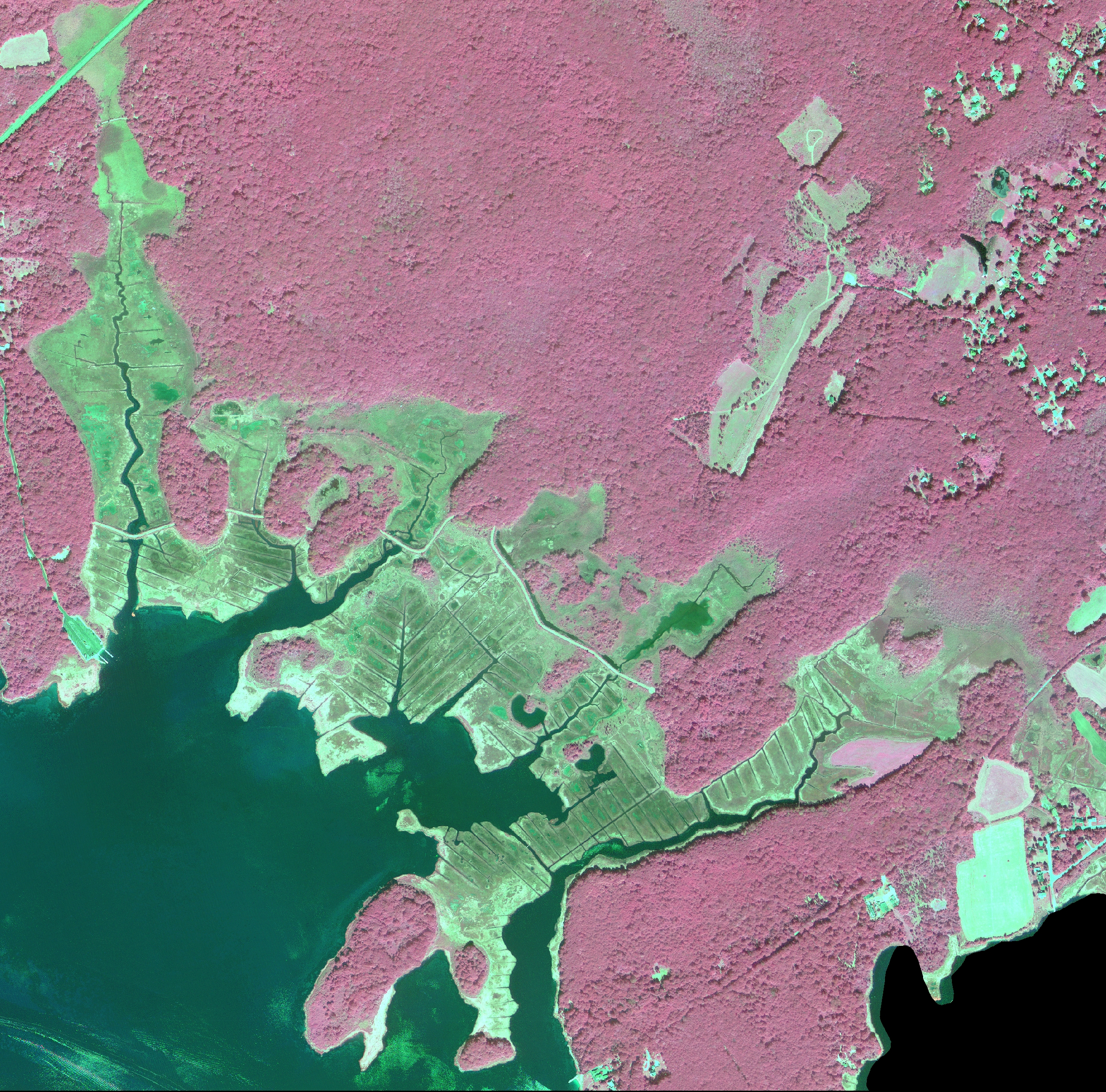
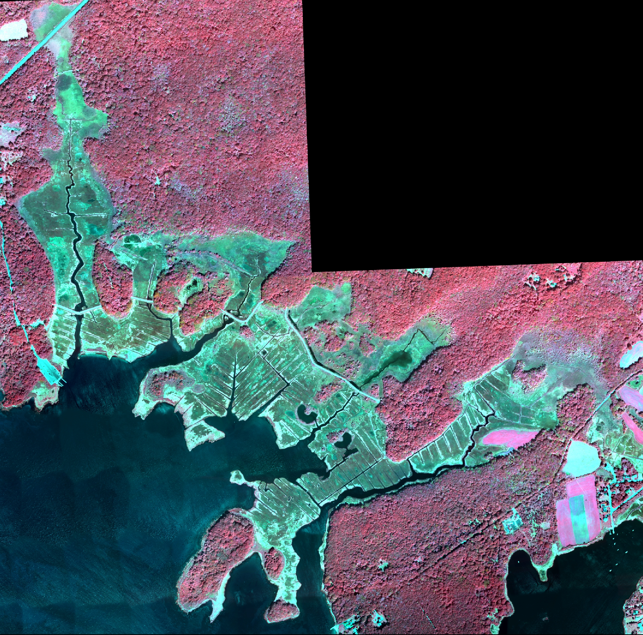
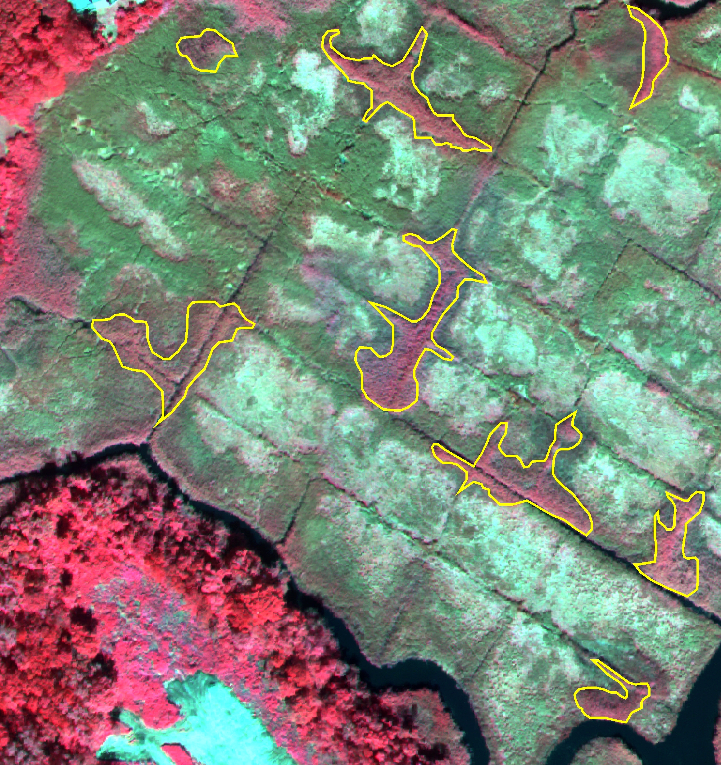
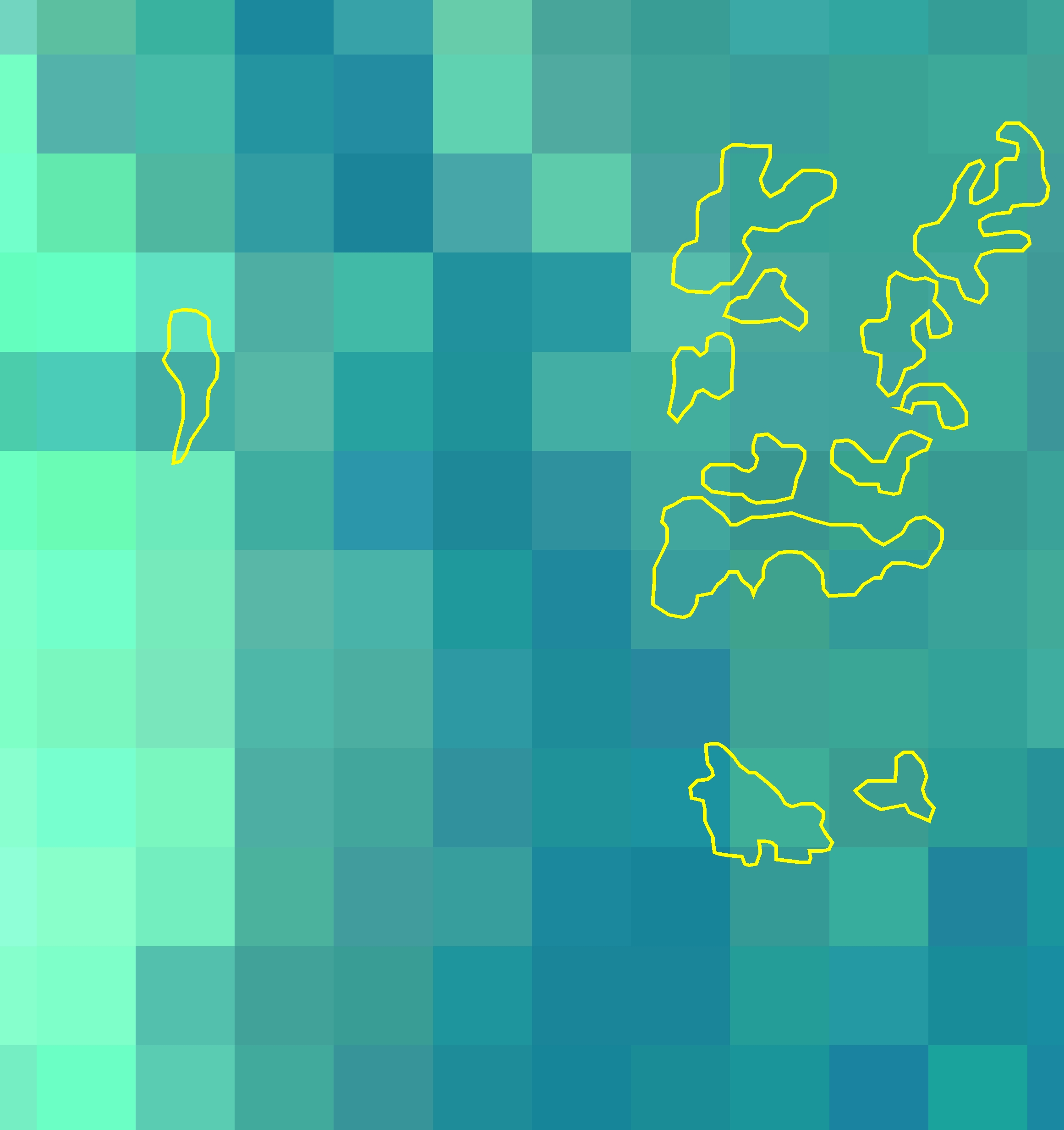
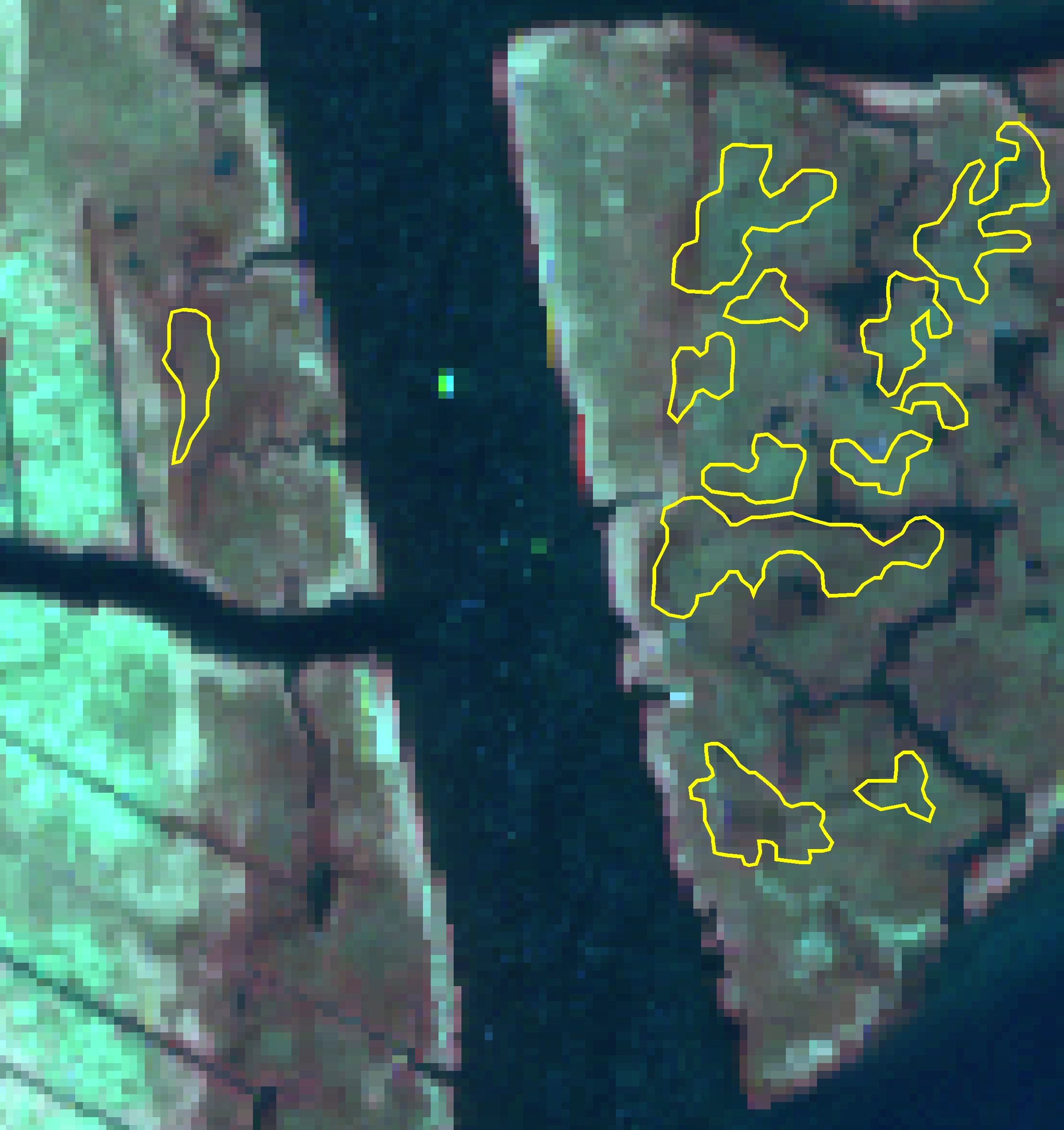
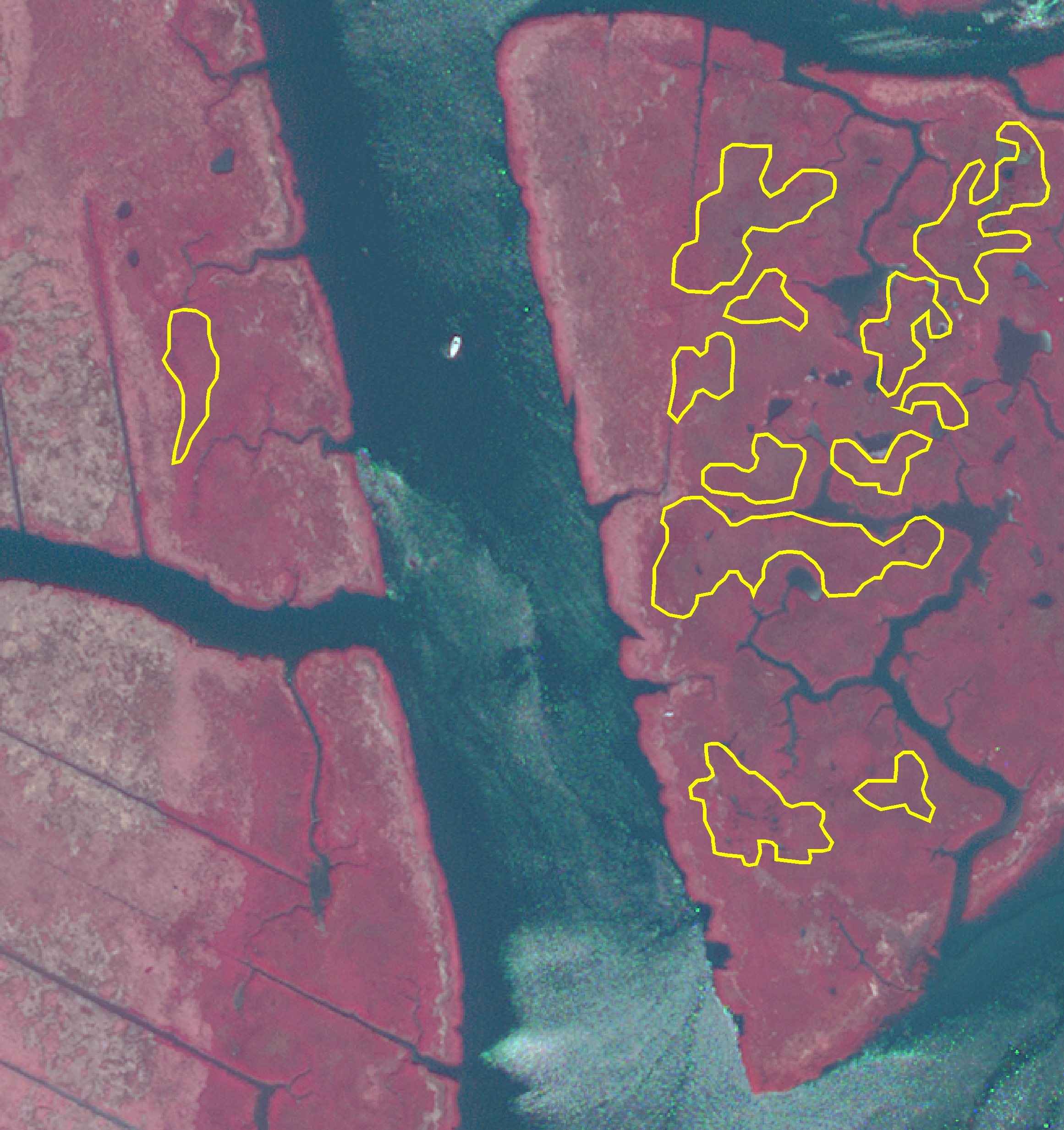
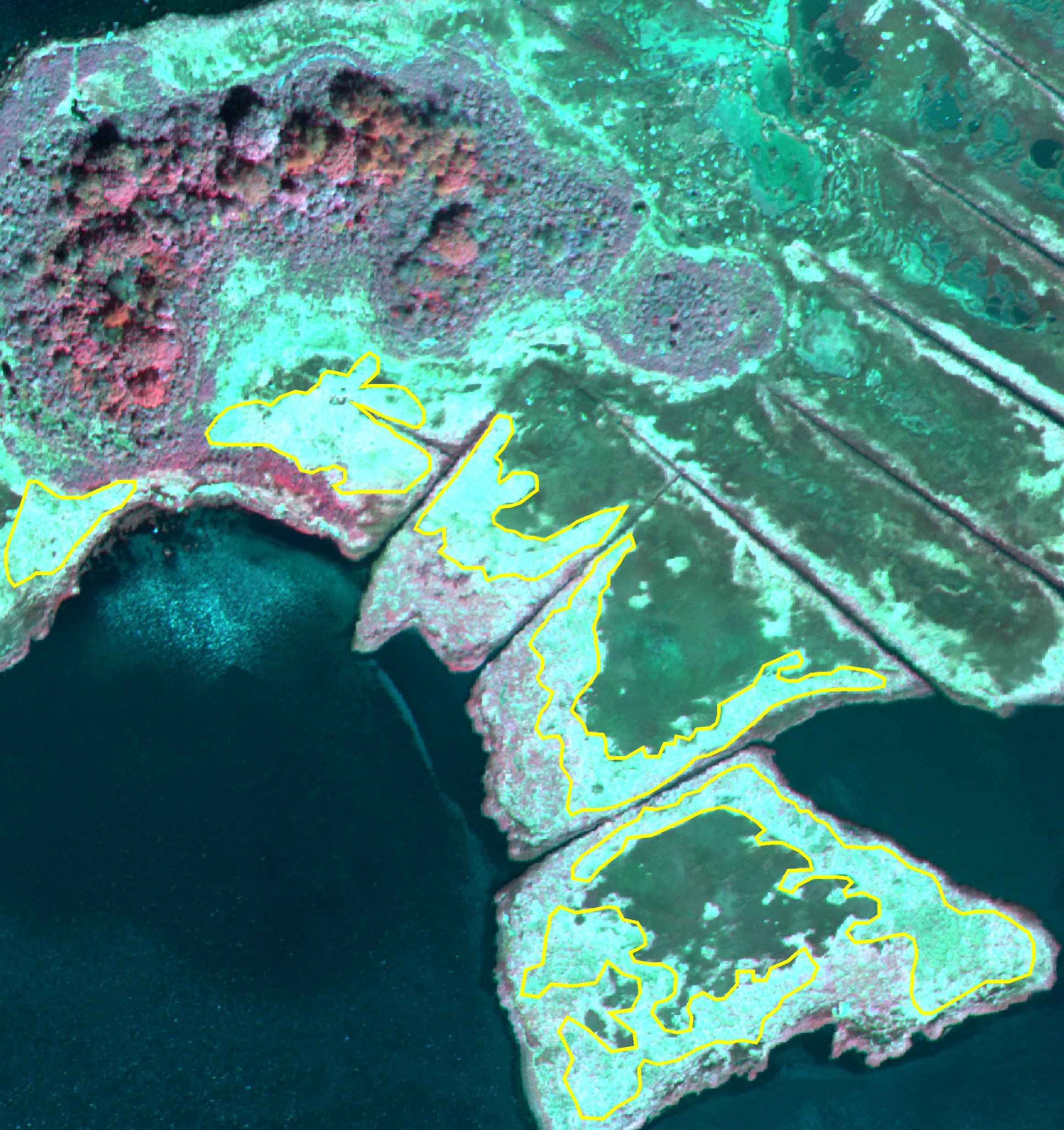
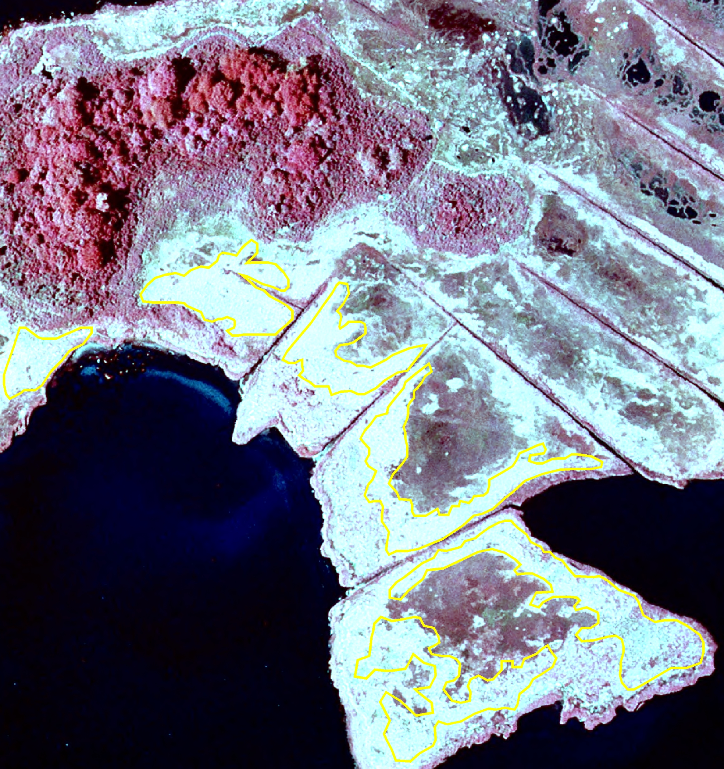
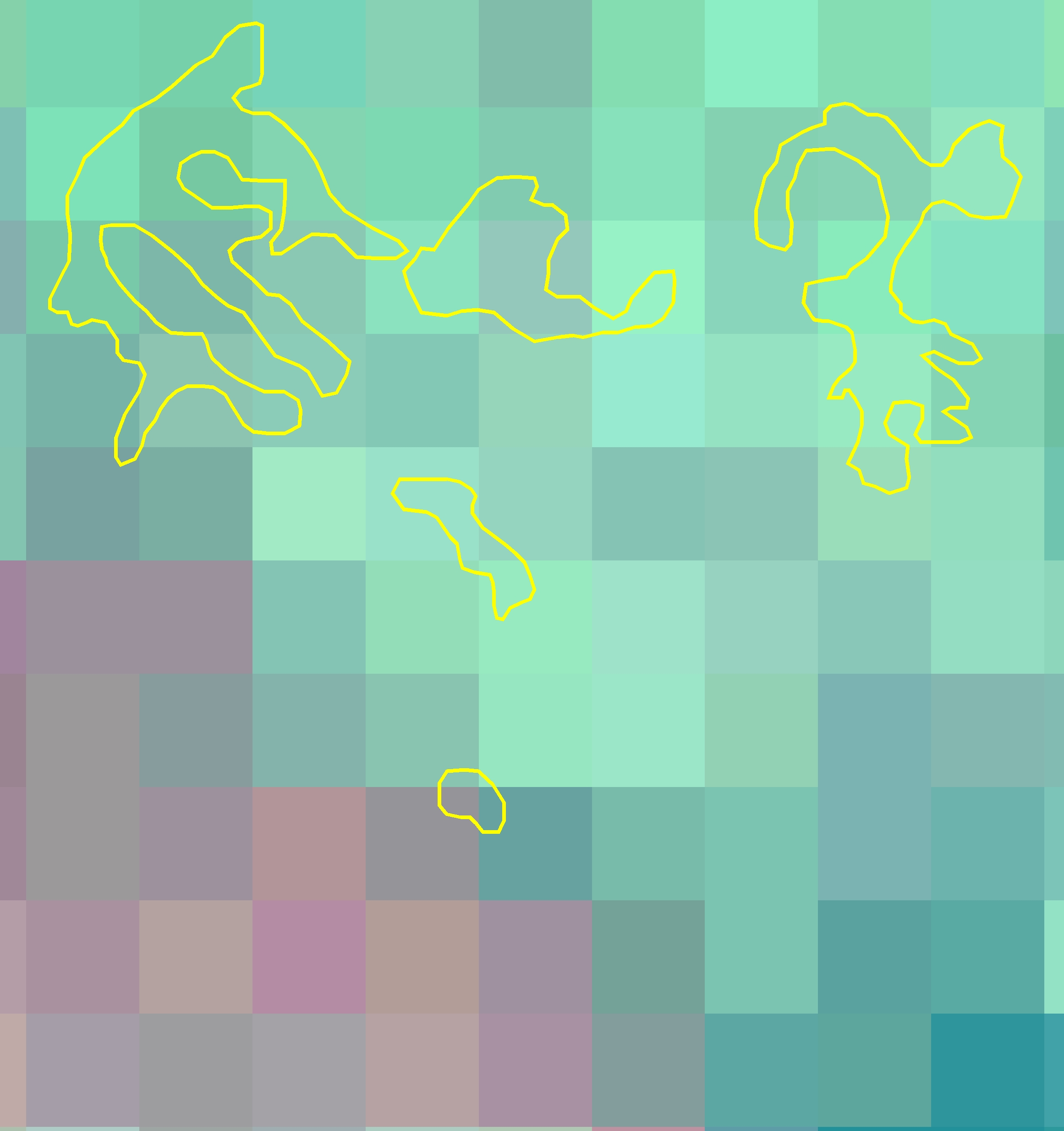
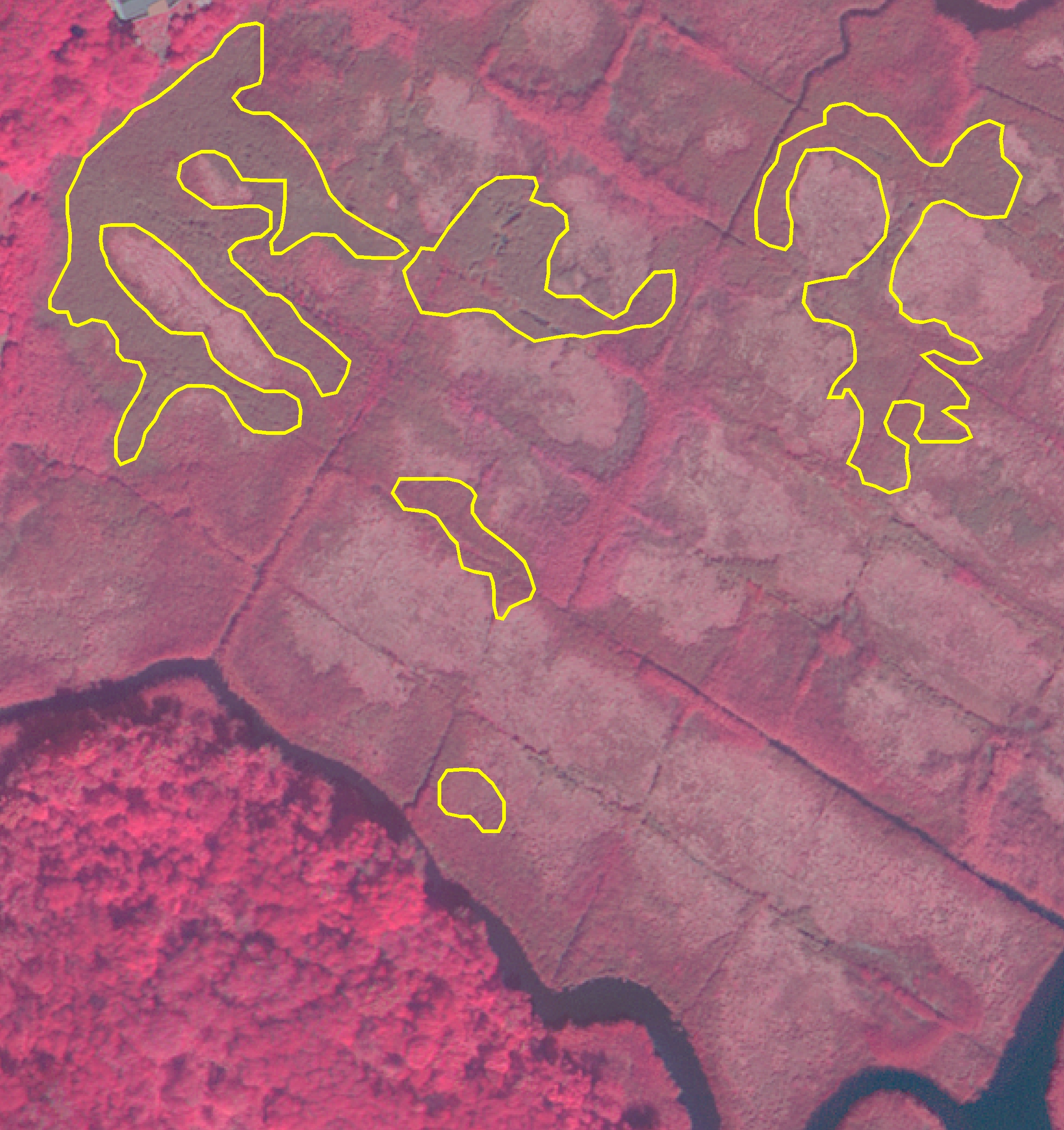
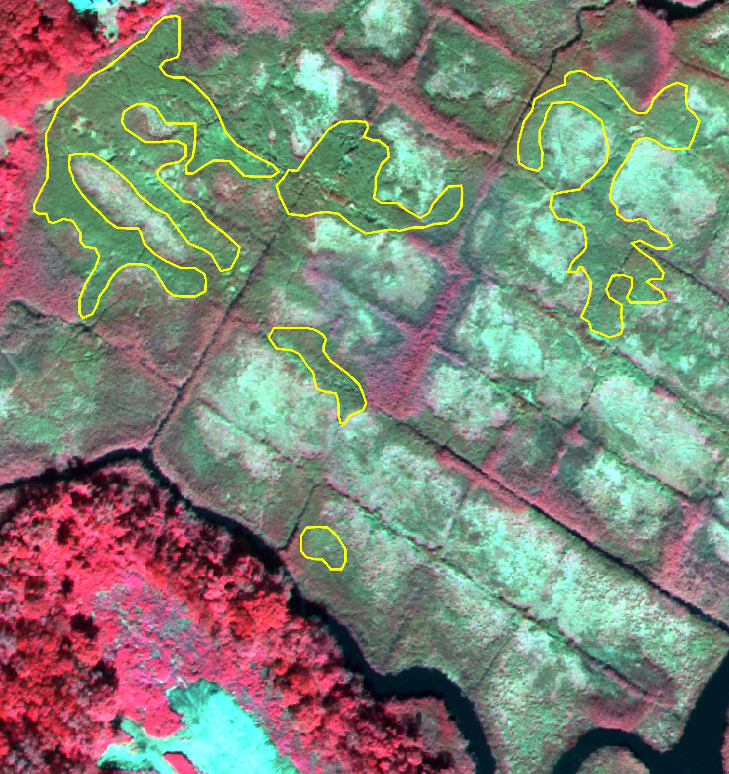
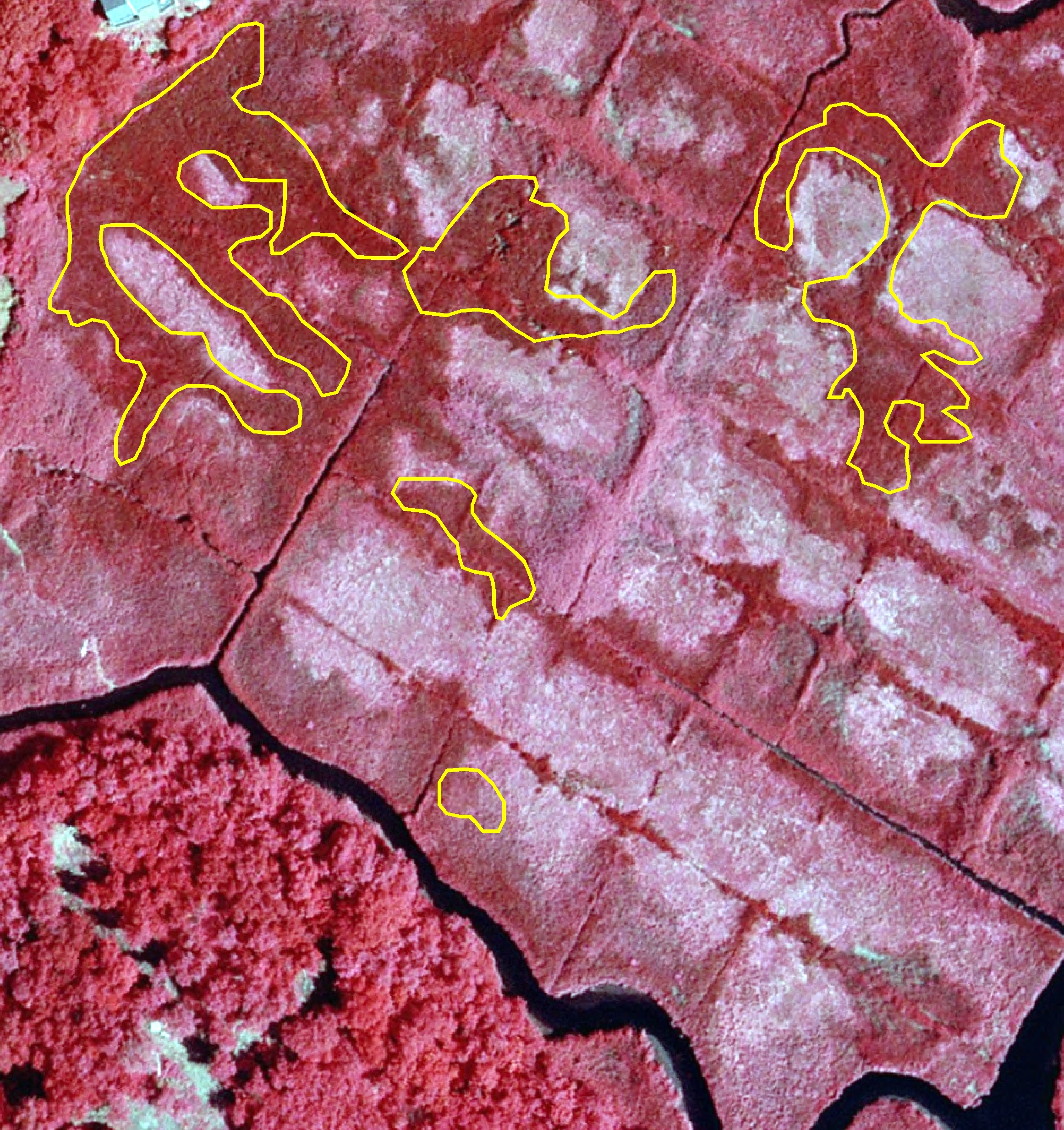
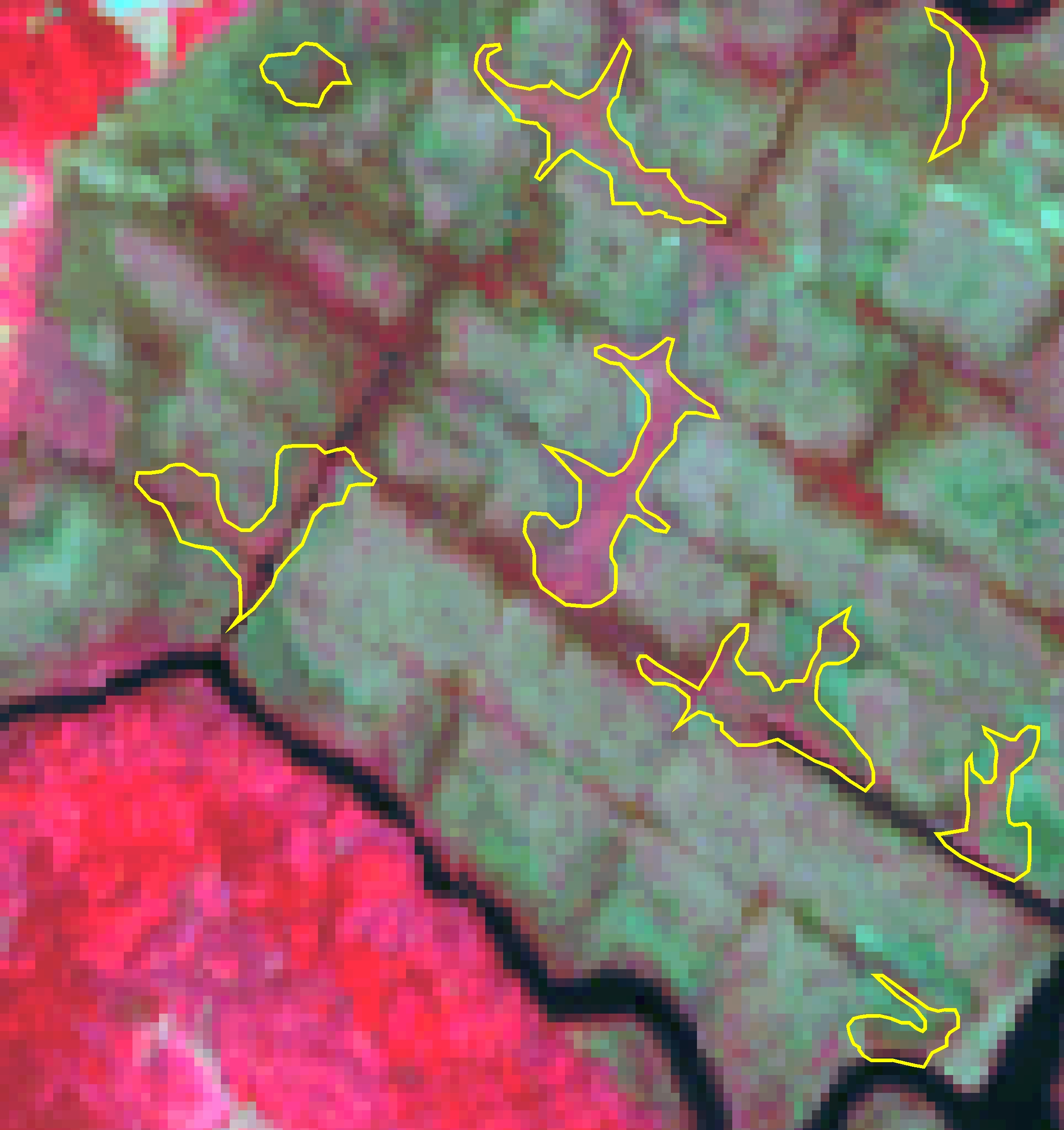
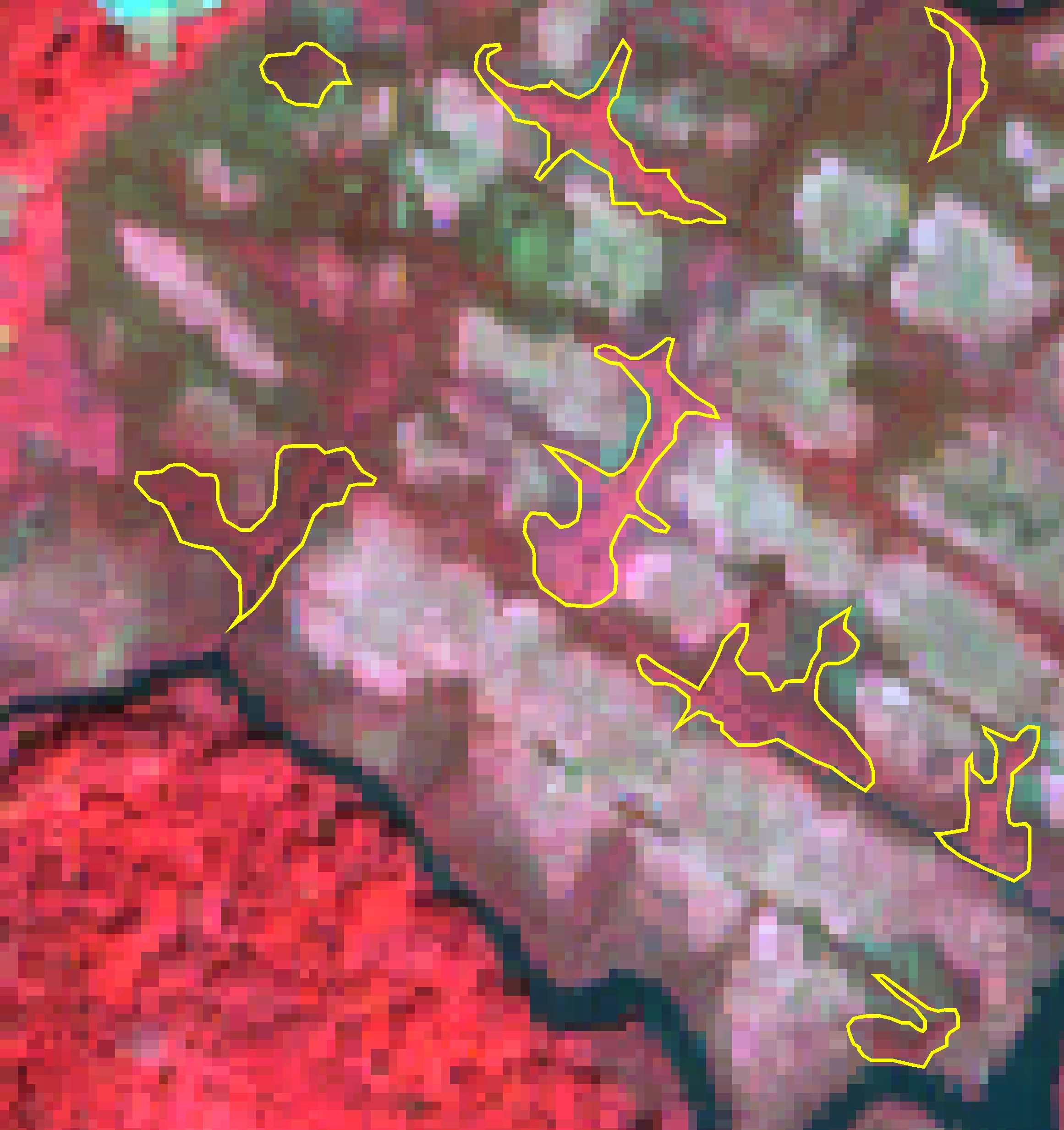
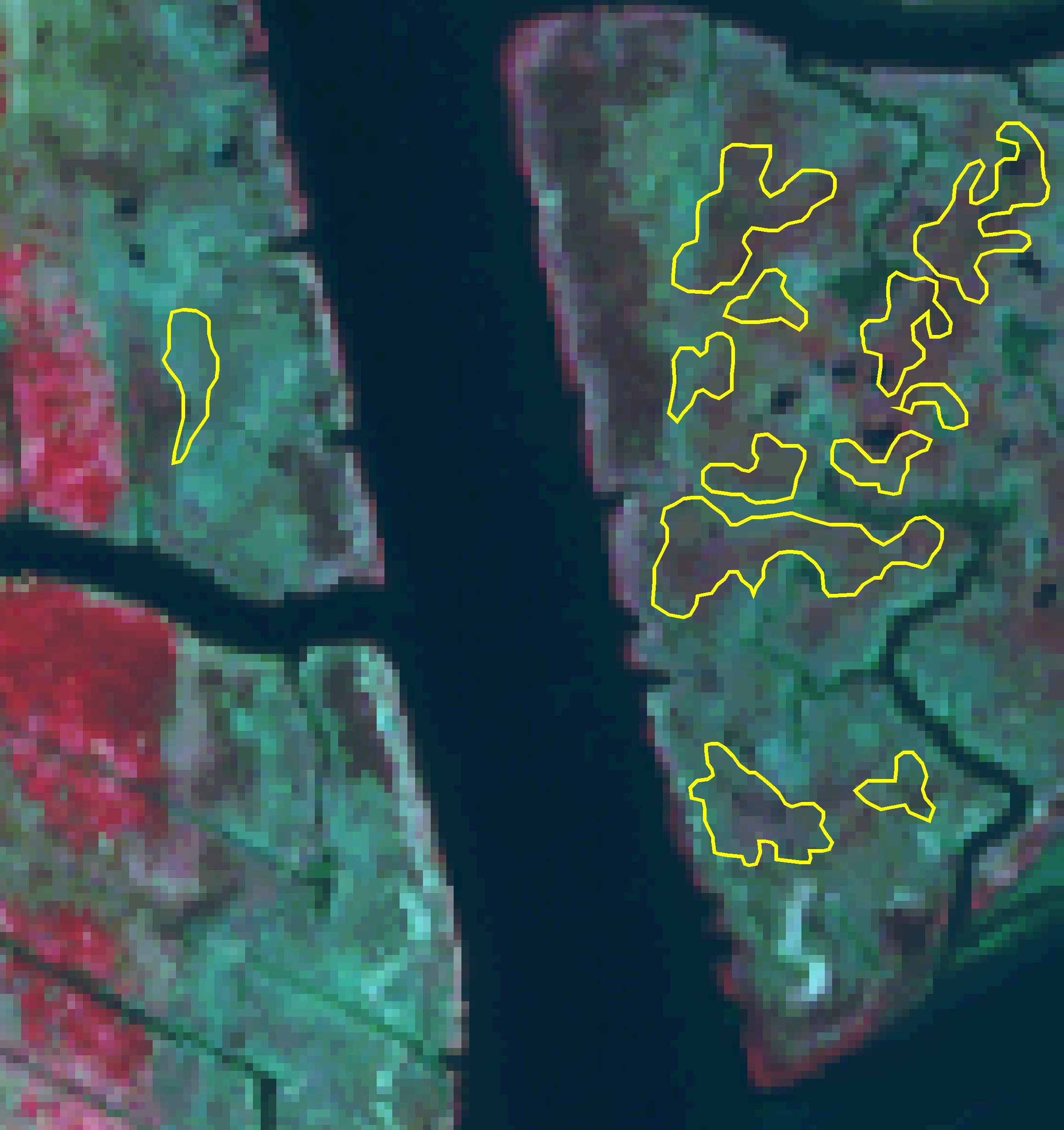
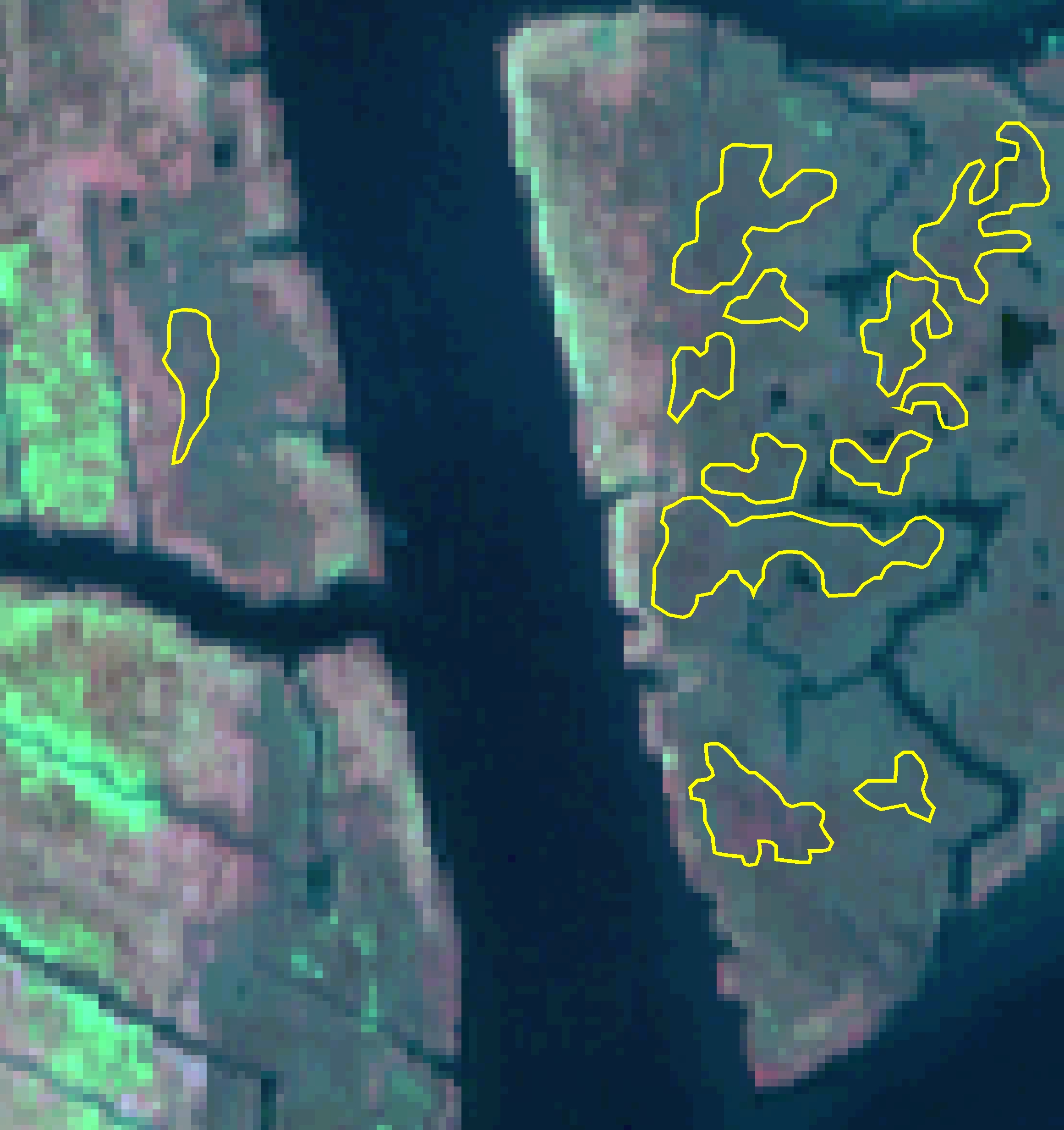
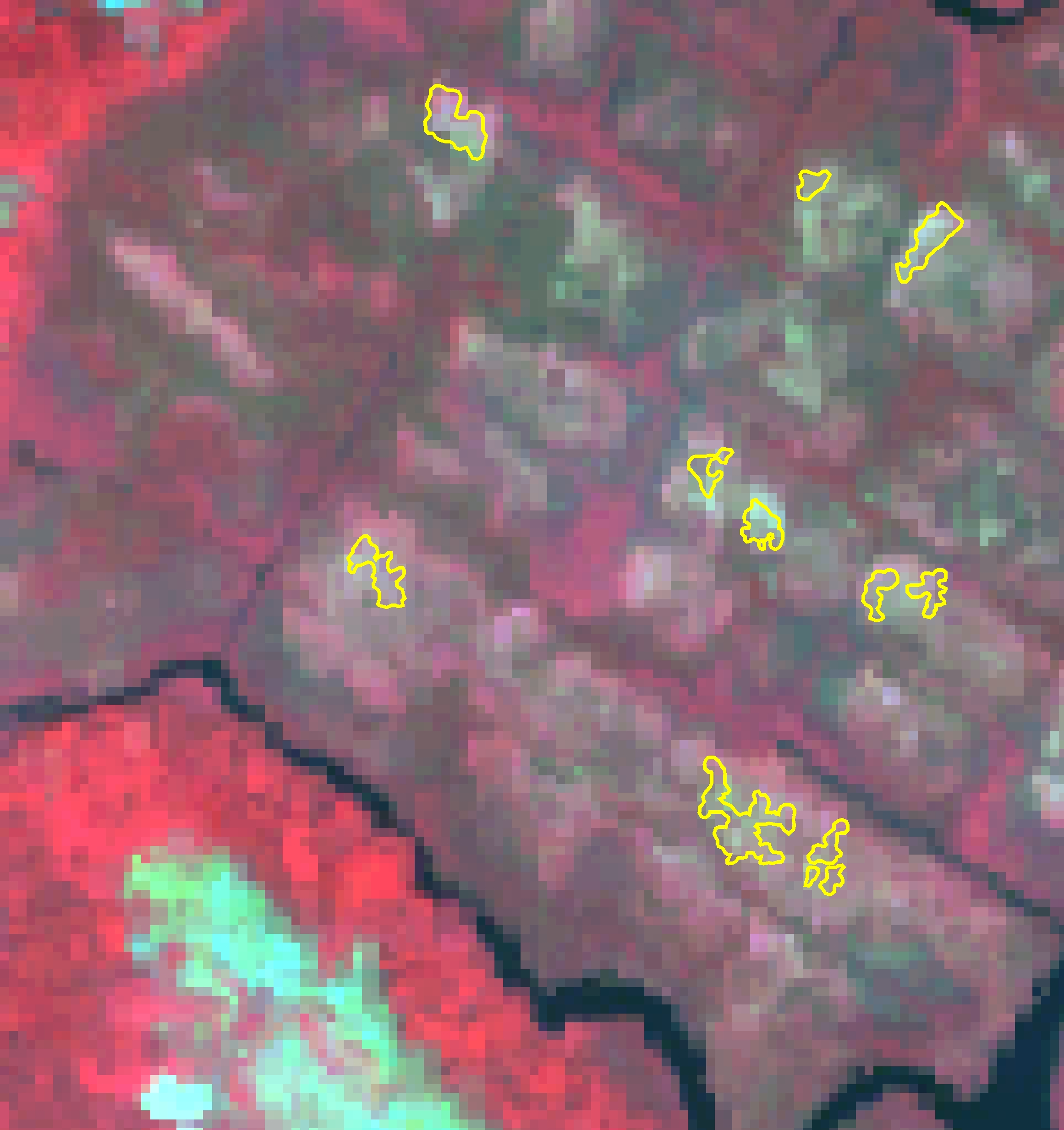
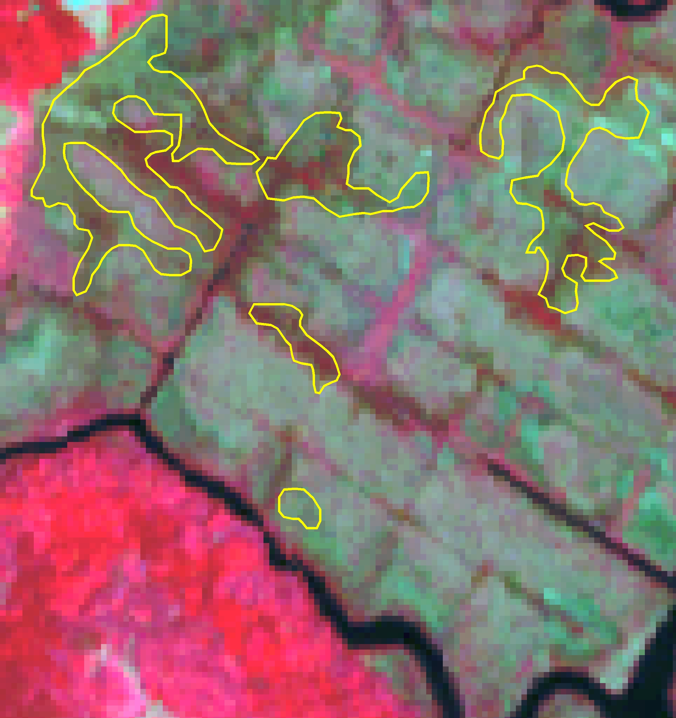
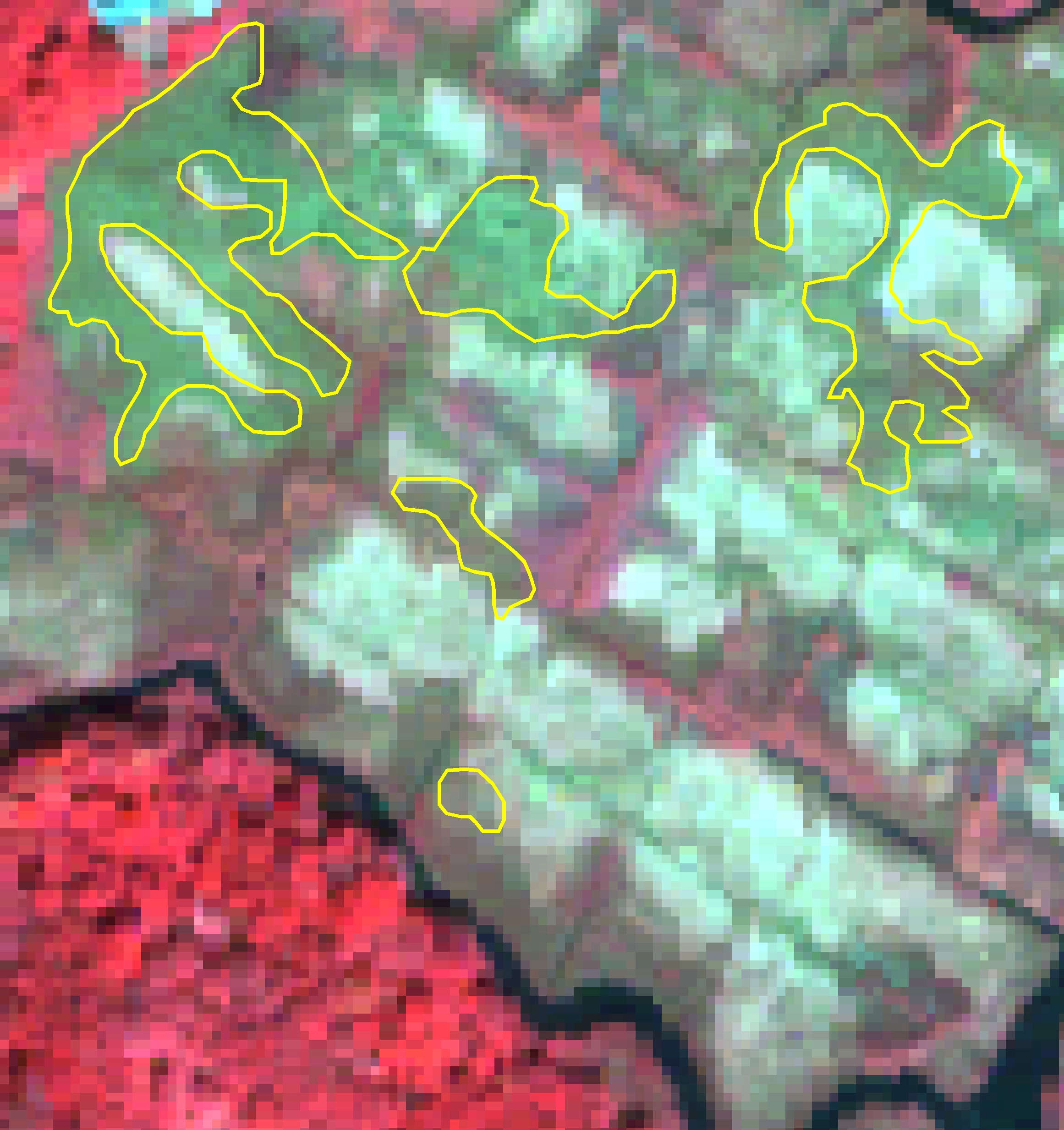
Shown below are sample remote sensing images for selected salt marsh study sites. The spatial resolution of these data range from moderate (30 meters for Landsat) to high (0.3 meter for aerial imagery). All data are multispectral, consisting of three, four, or as many as six (reflective) bands. Also shown below are examples of the key salt marsh vegetation, shown on the remote sensing images, as well as field-based spectral reflectance and terrestrial potographs.
Remote Sensing Image Properties

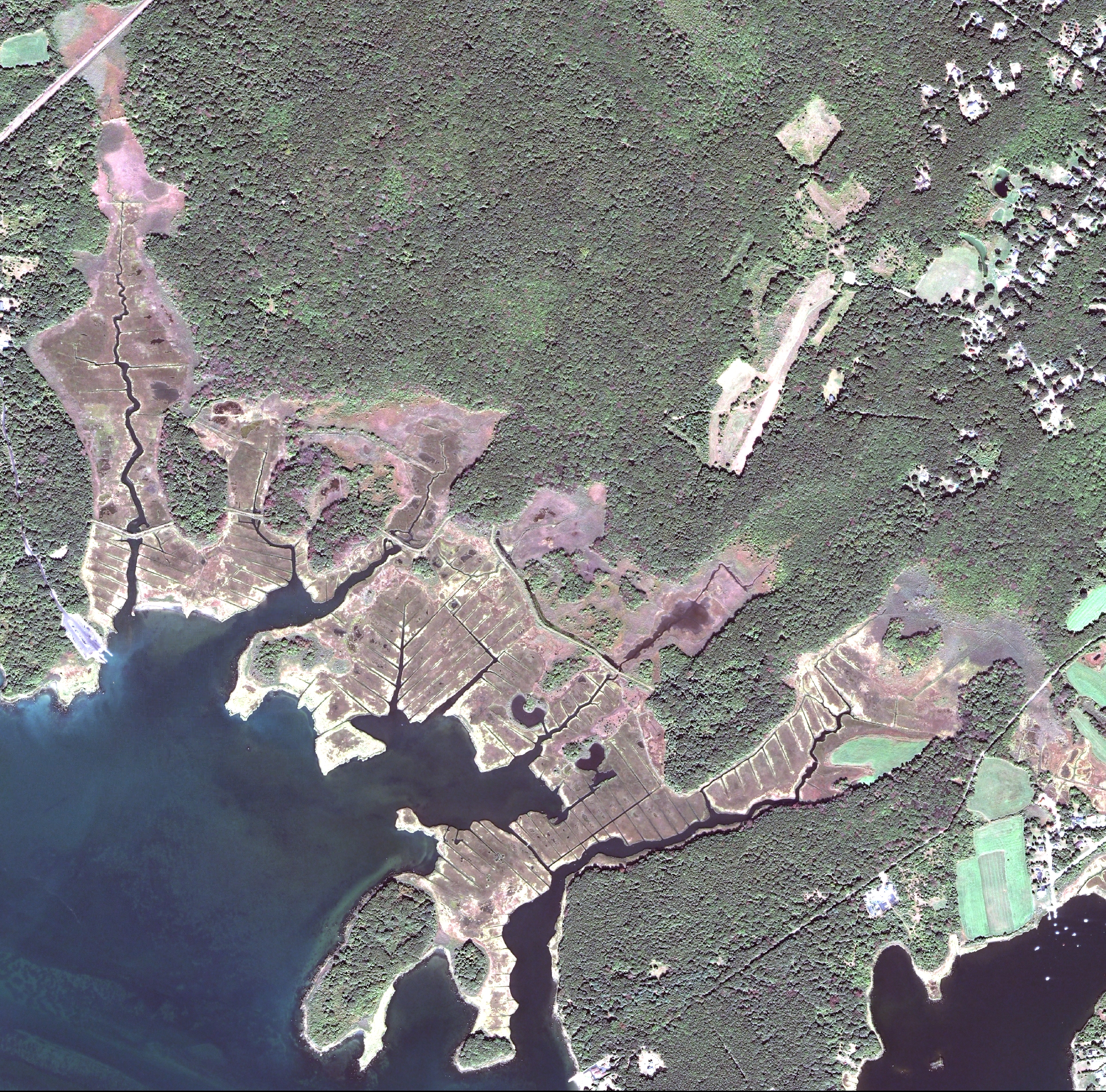
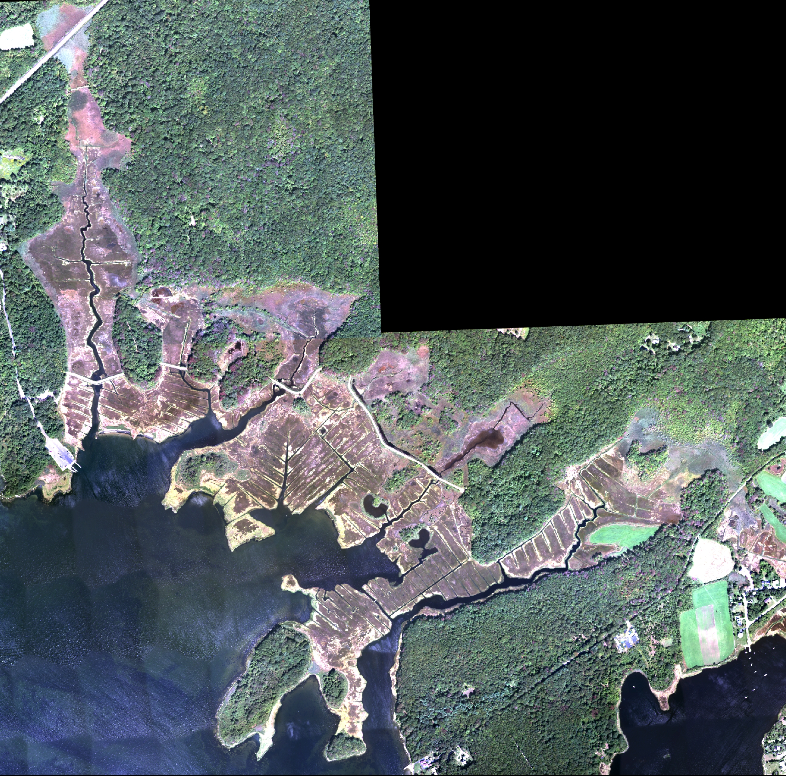
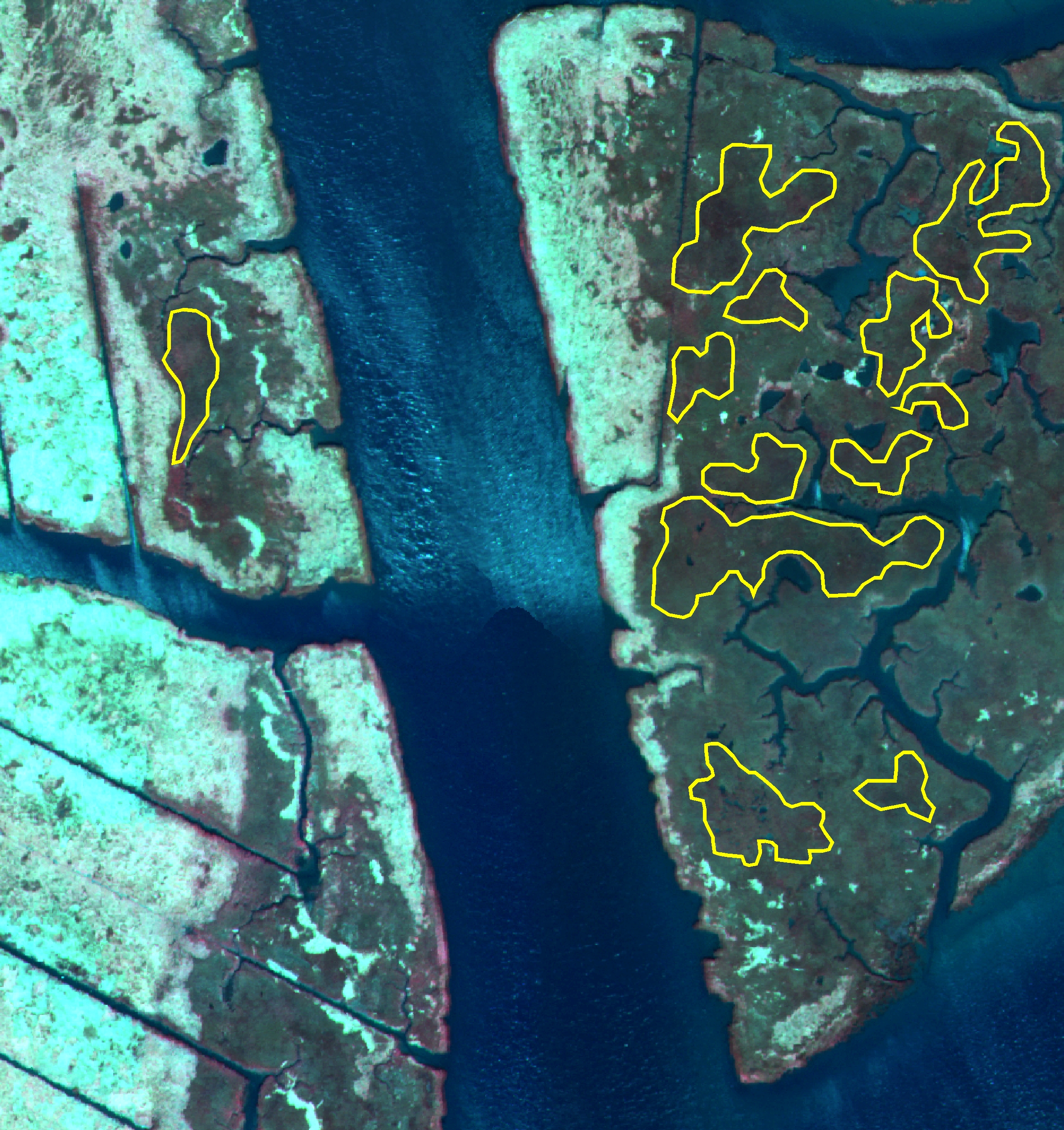
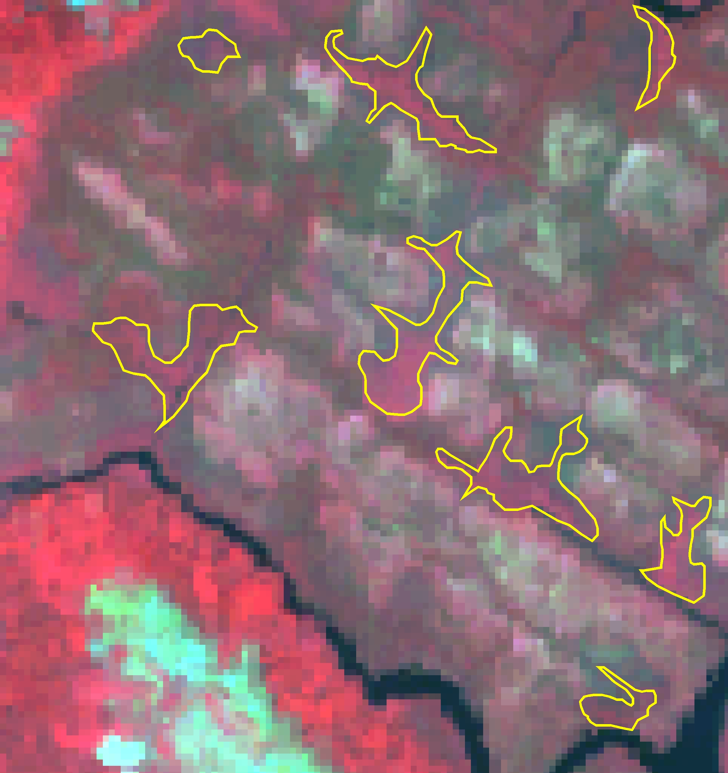
Natural Color Imagery (Blue-Green-Red portion of the spectrum)
Click on a thumbnail for a full resolution image
 |
 |
 |
 |
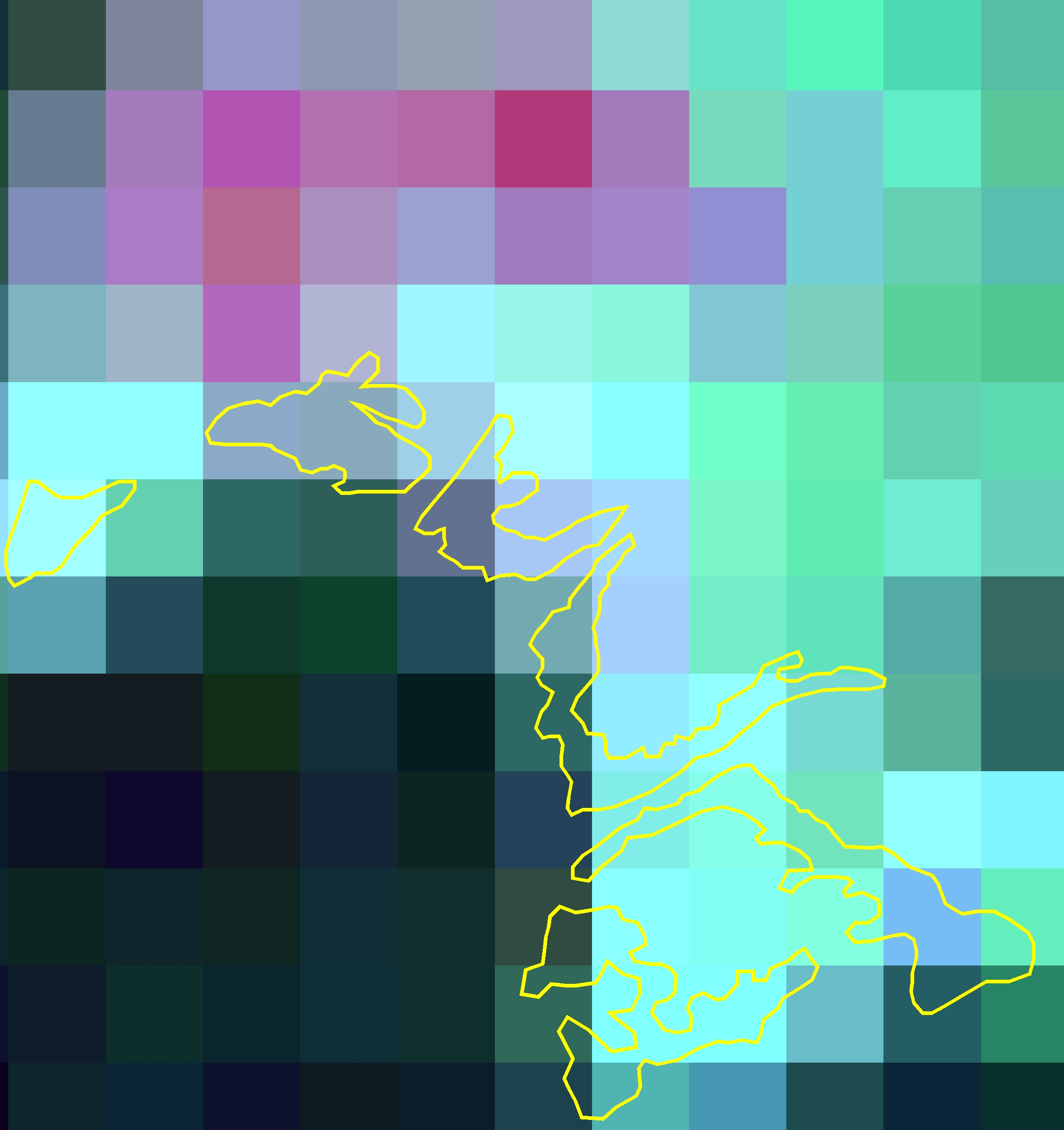
Landsat |
QuickBird |
ADS40 |
John Deere |
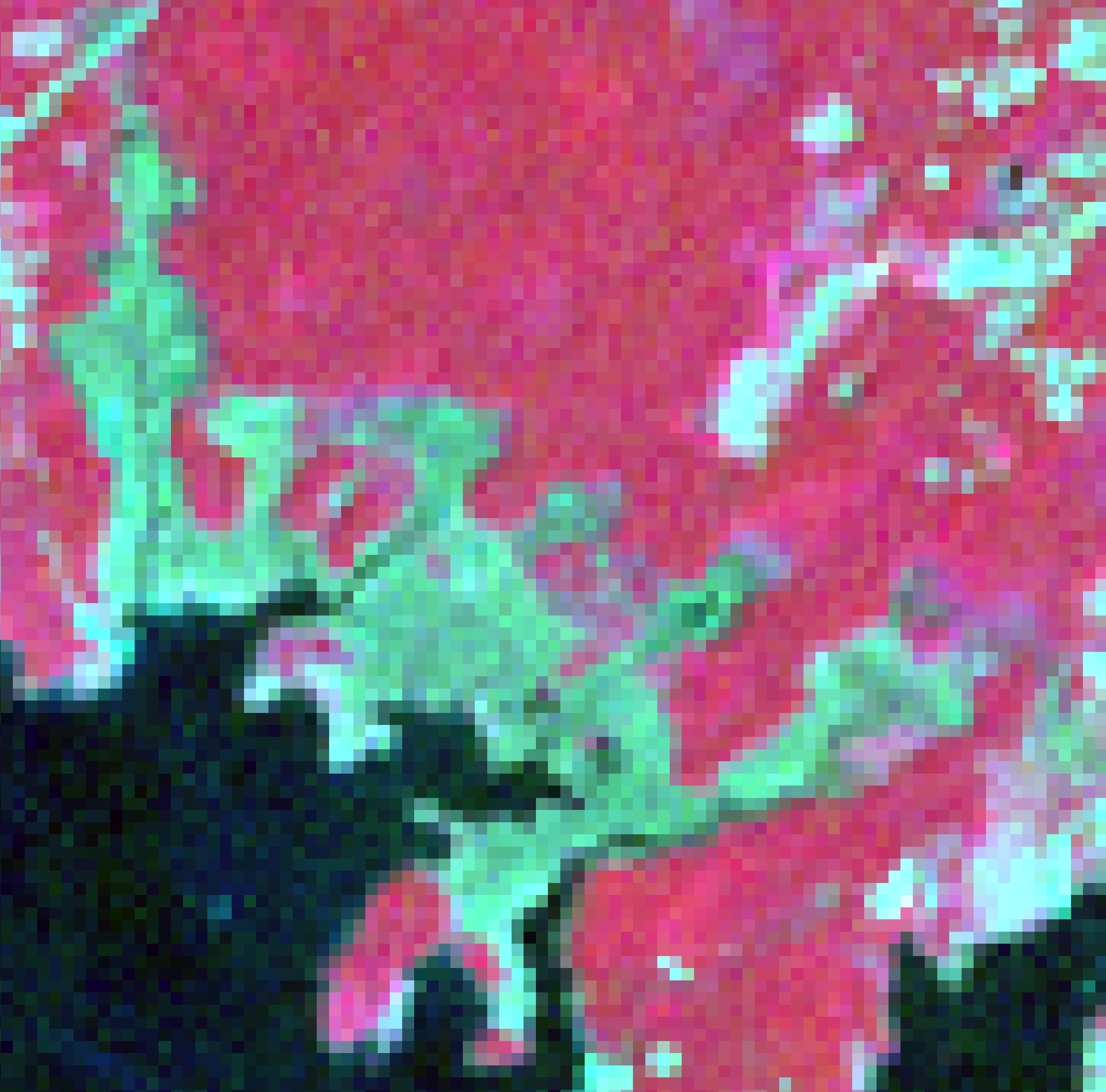
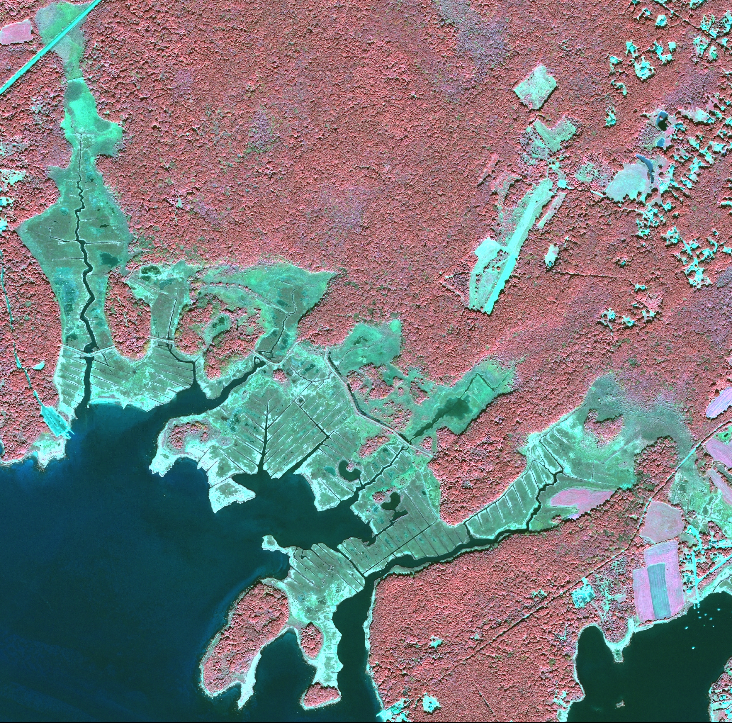
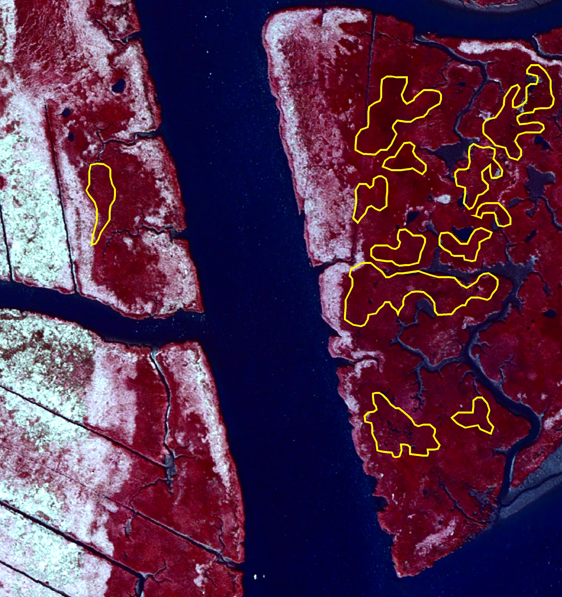
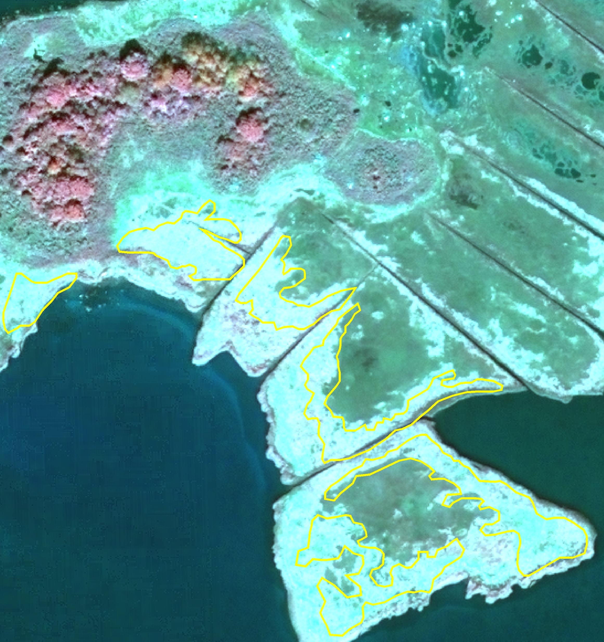
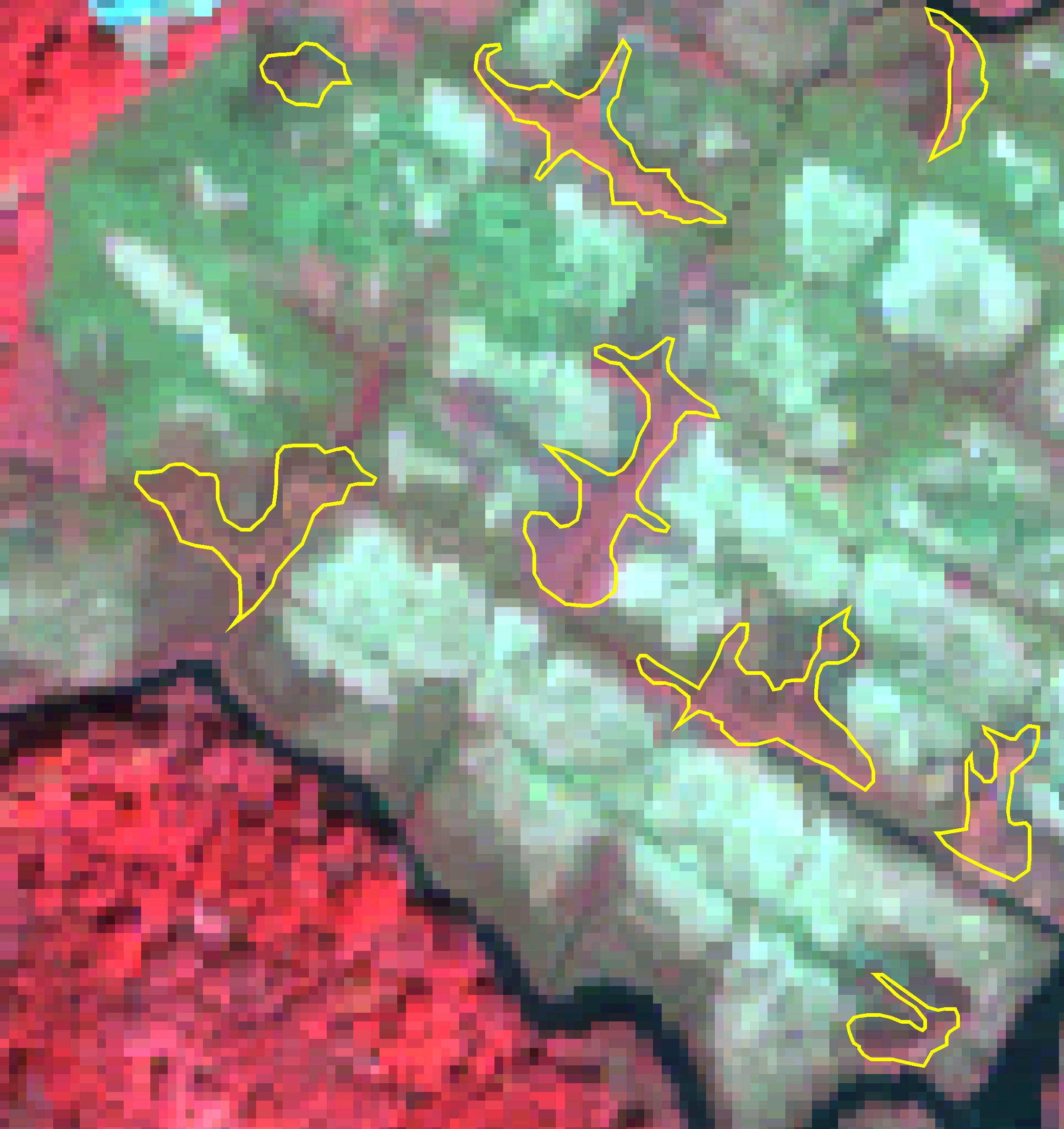
Color Infrared Imagery (Green-Red-Near Infrared portion of the spectrum)
Click on a thumbnail for a full resolution image
 |
 |
 |
 |
 |
Landsat |
QuickBird |
ADS40 |
John Deere |
LIS Aerial |
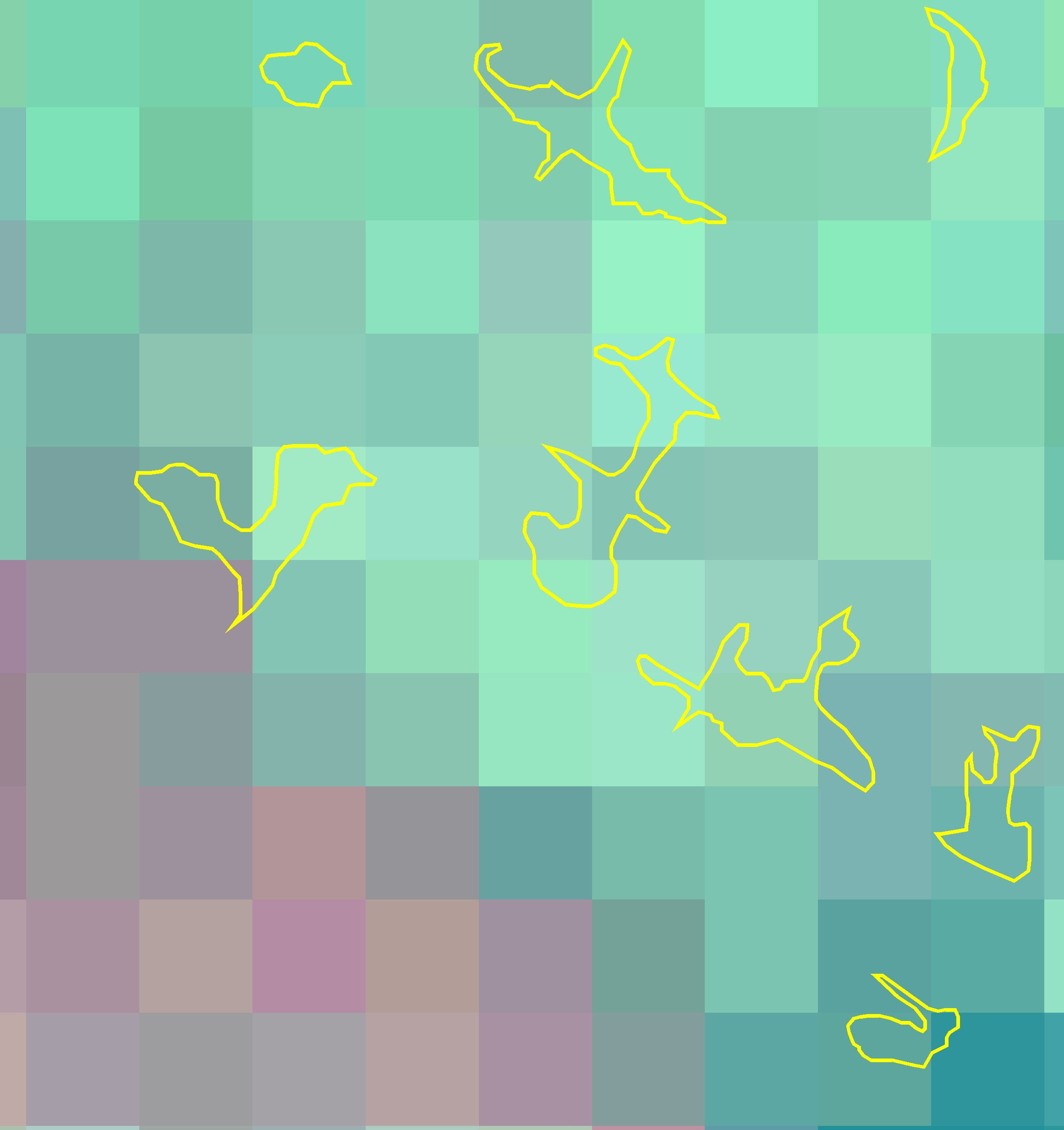
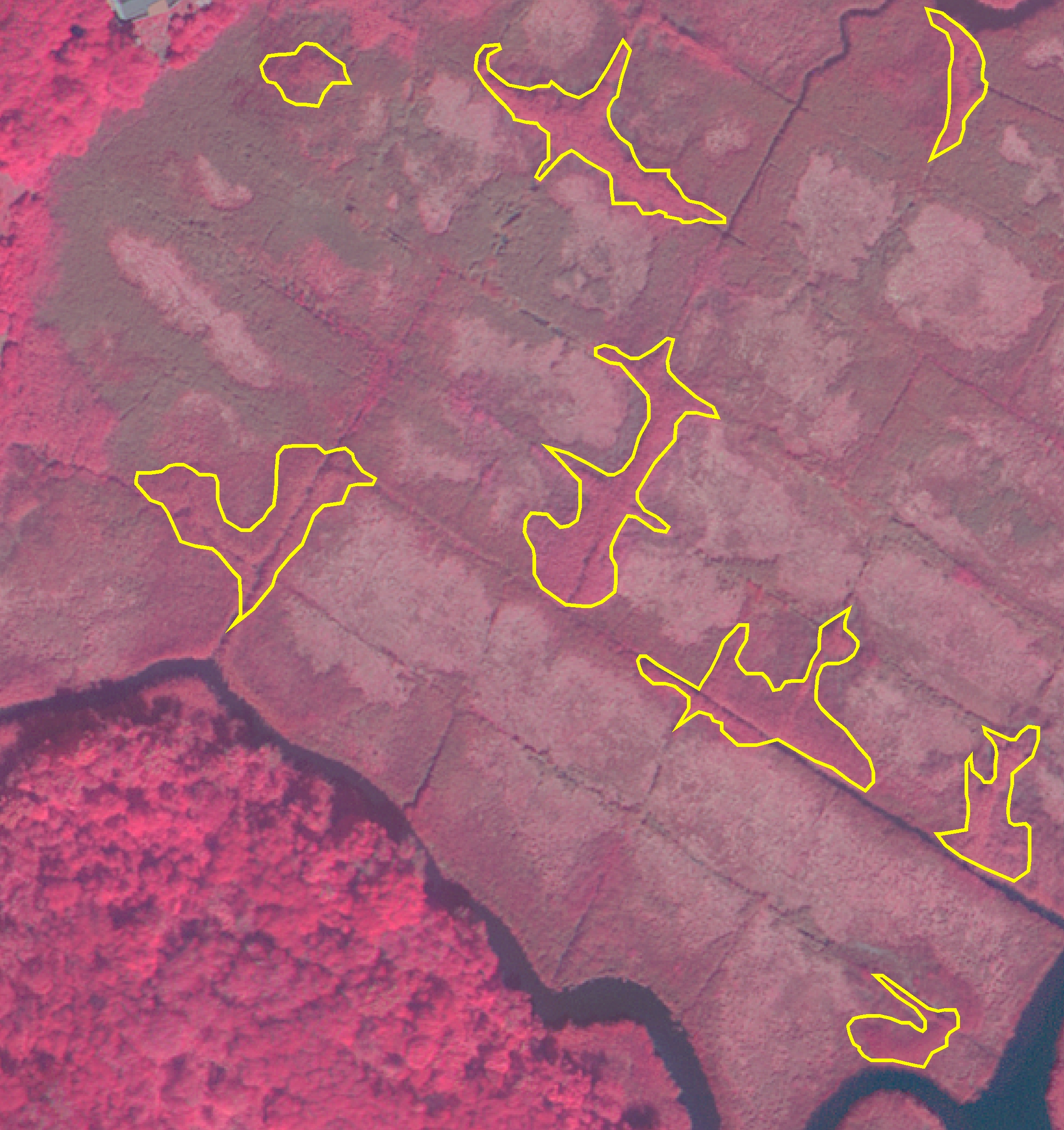
Plant Species |
Please click on the name of the plant for additional information.
Phragmites australis (Common Reed)
 |
 |
 |
 |
 |
Landsat |
QuickBird |
ADS40 |
John Deere |
LIS Aerial |
Spartina alterniflora (Salt Cordgrass)
 |
 |
 |
 |
 |
Landsat |
QuickBird |
ADS40 |
John Deere |
LIS Aerial |
Spartina patens (Salt Marsh Hay)
 |
 |
 |
 |
 |
Landsat |
QuickBird |
ADS40 |
John Deere |
LIS Aerial |
Typha spp. (Cattail)
 |
 |
 |
 |
 |
Landsat |
QuickBird |
ADS40 |
John Deere |
LIS Aerial |
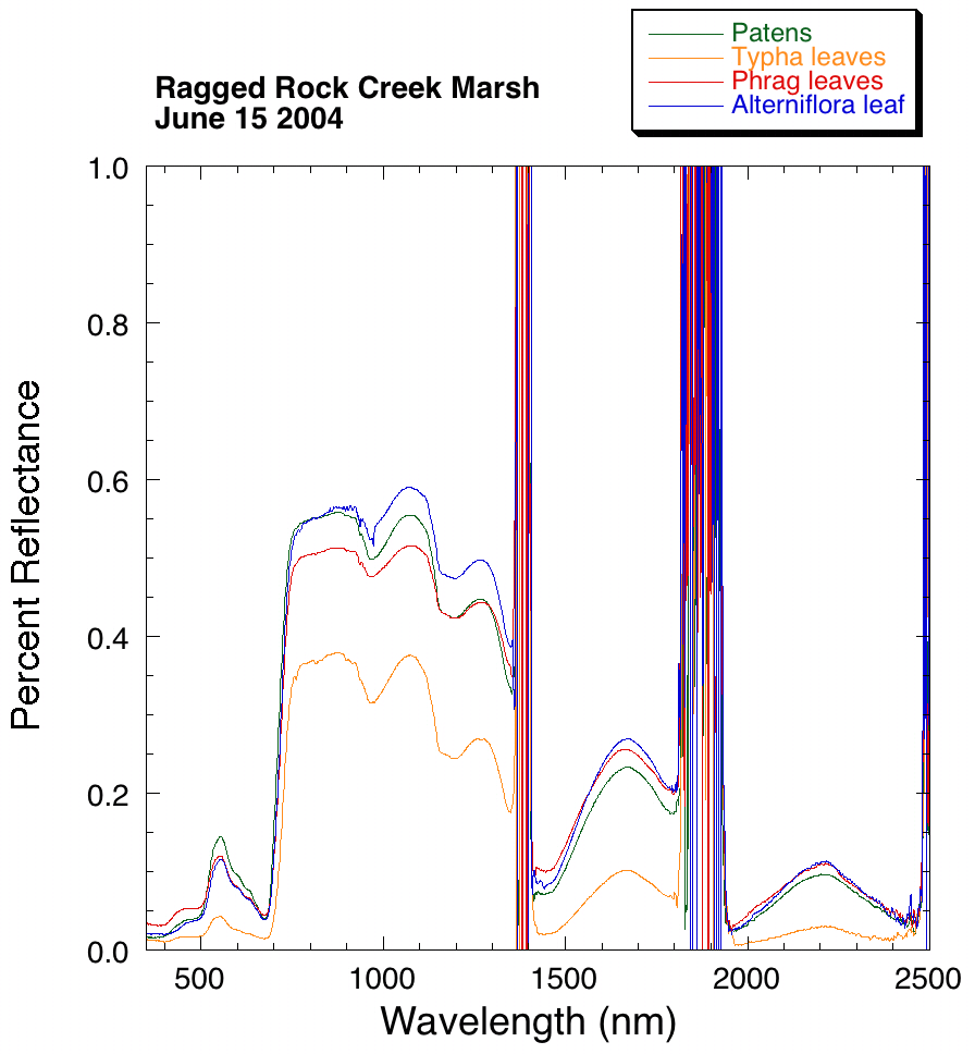
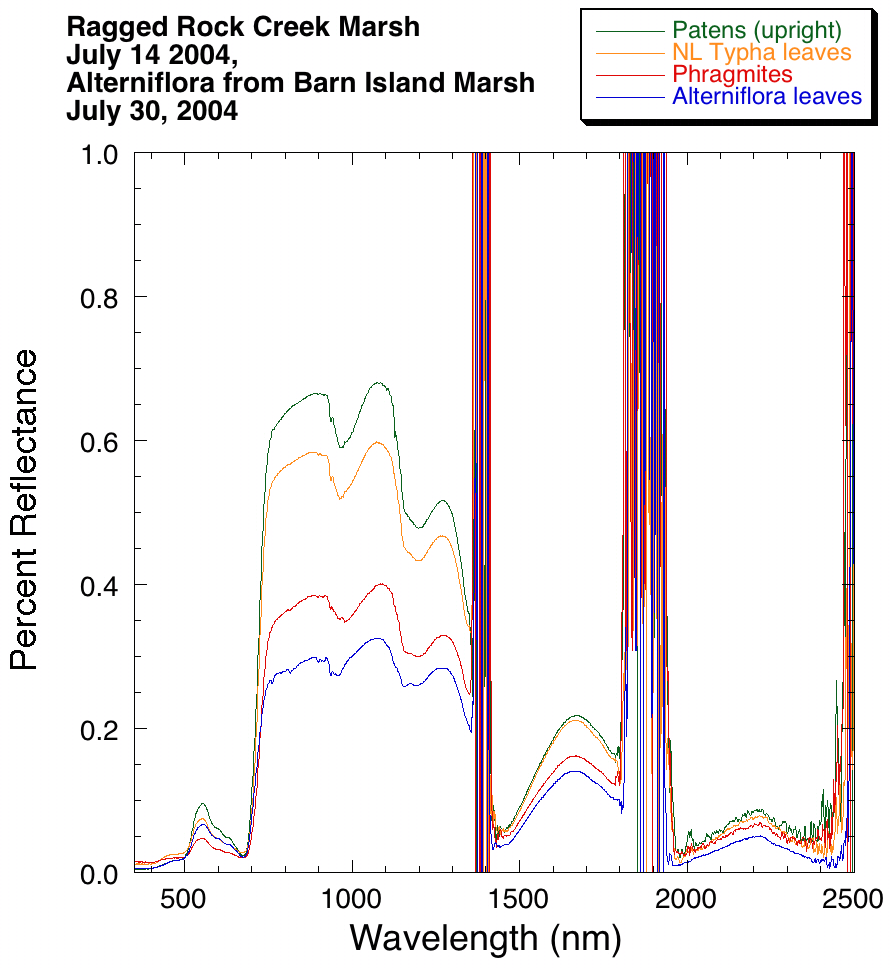
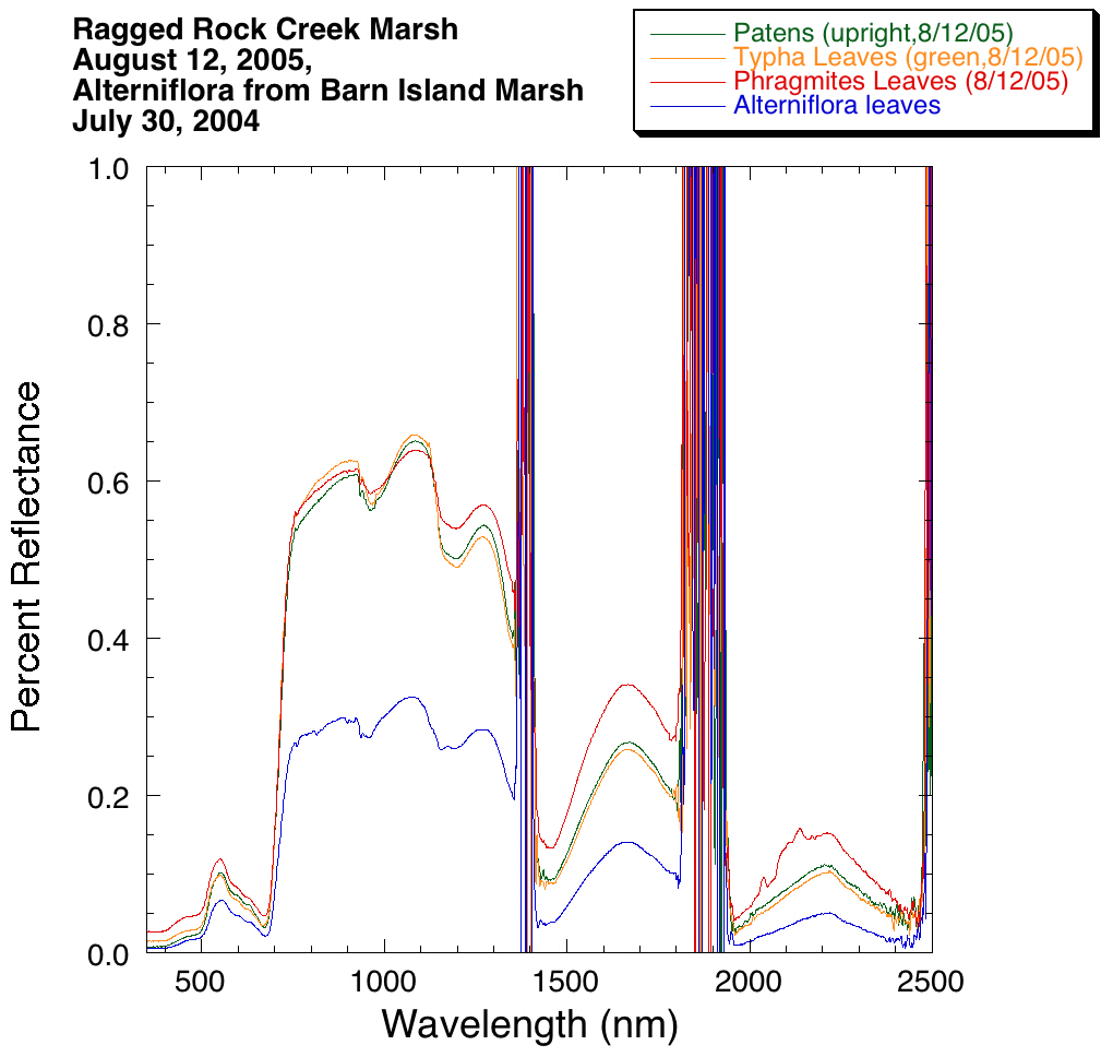
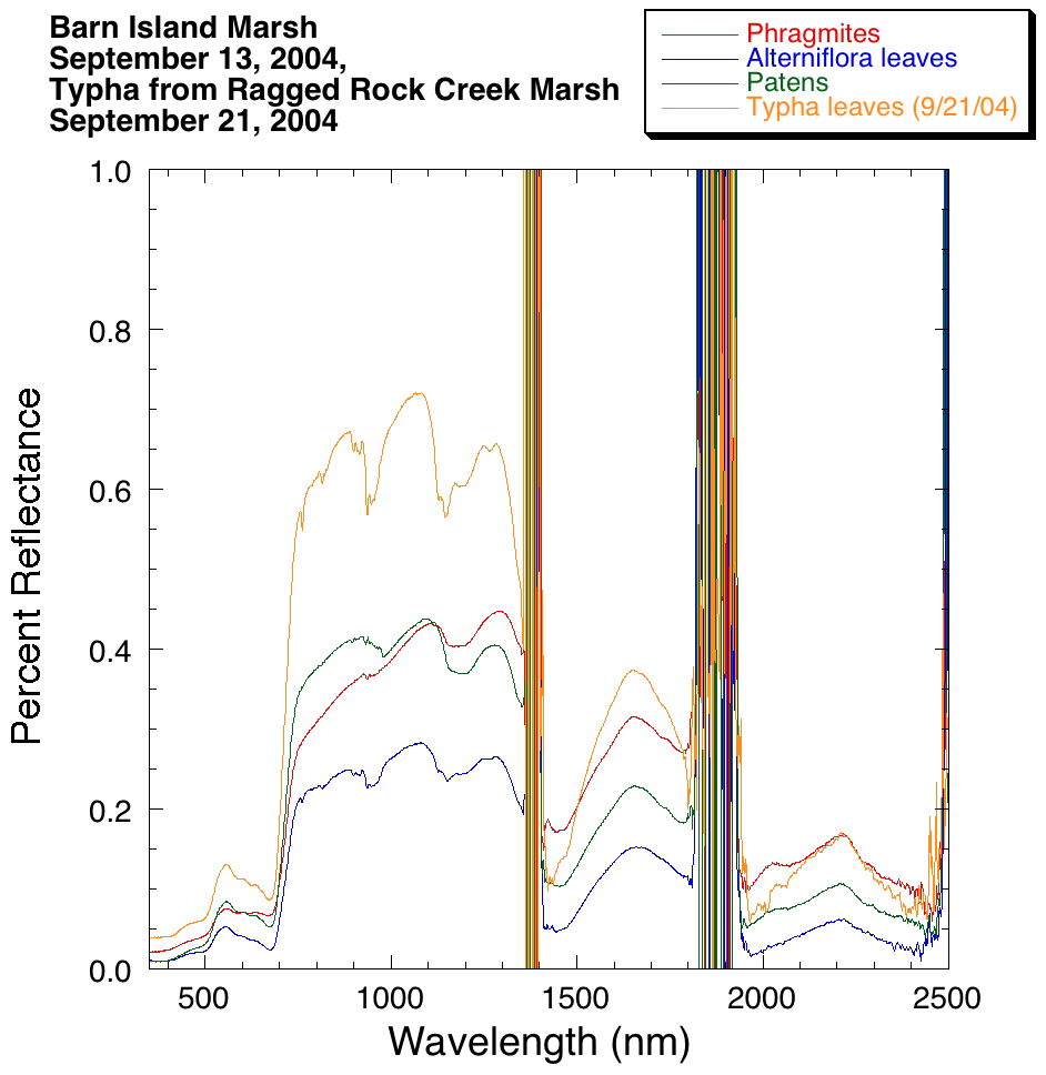
Spectra |
QuickBird |
 |
 |
 |
 |
Ground Photo |
||||
Spectral Plot |
 |
 |
 |
 |
QuickBird |
 |
 |
 |
 |
Ground Photo |
||||
Spectral Plot |
|
|
|
|
QuickBird |
 |
 |
 |
 |
Ground Photo |
||||
Spectral Plot |
|
|
|
|
Click on month for Ground Photo image
QuickBird |
 |
 |
 |
 |
Ground Photo |
||||
Spectral Plot |
|
|
|
|
Contact
CLEAR
clear@uconn.edu
(860) 345-4511
