Imagery | Classifications
Imagery |
|
||||
Landsat (IMG) |
||||
 |
||||
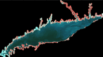
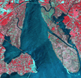
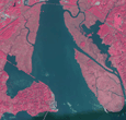
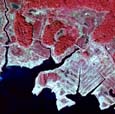
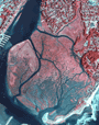
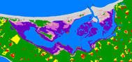
Long Island Sound |
||||
 |
 |
 |
 |
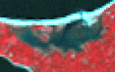 |
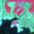
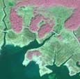
Ragged Rock |
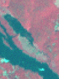
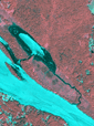
Barn Island |
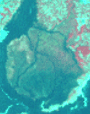
Chapman Pond |
Wheeler Marsh |
Flax Pond |
QuickBird (JPEG2000) |
||||
 |
 |
 |
No Data |
No Data |
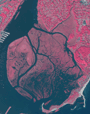
Ragged Rock |
Barn Island |
Chapman Pond |
||
|
|
||||
ADS40 (JPEG2000) |
||||
 |
 |
No Data |
 |
No Data |
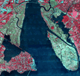
Ragged Rock |
Barn Island |
|
Wheeler Marsh |
|
John Deere (JPEG2000) |
||||
 |
 |
 |
 |
 |
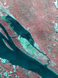
Ragged Rock |
Barn Island |
Chapman Pond |
Wheeler Marsh |
Flax Pond |
LIS Aerial (JPEG2000) |
||||
 |
 |
 |
 |
No Data
|
Ragged Rock |
Barn Island |
Chapman Pond |
Wheeler Marsh |
|
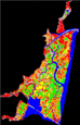
Classifications |
 |
||
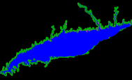
Long Island Sound |
||
 |
 |
|
Ragged Rock |
Barn Island |
Flax Pond |
QuickBird |
QuickBird |
John Deere |
Contact
CLEAR
clear@uconn.edu
(860) 345-4511