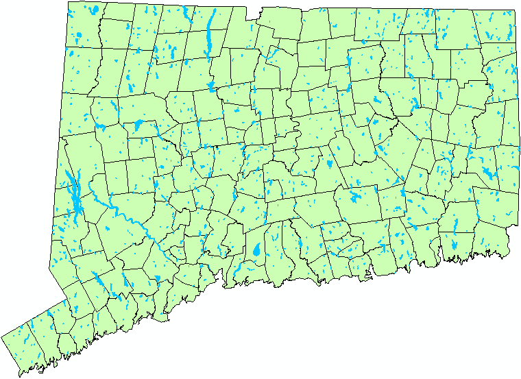
Connecticut has over 1,000 lakes and ponds larger than 5 acres in area (see distribution of lakes in image below). These water bodies provide important recreational opportunities, aesthetic values, and ecosystem services that contribute to the quality of life, environment, and economy of the state. Over the past 400 years, Connecticut has undergone significant alterations to its landscape. As a result of these mostly human caused effects, including clearing of forests, agriculture, and urban and rural development, there have been significant impacts to the water quality of Connecticut’s lakes and ponds. While a natural process, the eutrophication of lakes caused by excess nutrient export in runoff has been, and continues to be, a pervasive problem. These conditions can limit recreation opportunities, reduce the economical value of property, and diminish the ecological integrity of lakes” (CT DEP Lake Water Quality Management Program). A previous analysis of 35 lakes conducted in Connecticut found that 33 of the lakes had shown a decline in water clarity, an indicator of water quality, since the 1930’s.
Protecting lake water quality is a major concern for local, regional, and state agencies as
well as citizens and non‐profit organizations. Comprehensive water quality data are essential
for improved management and policy decisions. It is, however, prohibitively expensive to
monitor water quality for a significant number of lakes and ponds using conventional methods.
As such, many lakes and ponds are not sampled throughout the region (missing potentially low
water quality lakes and ponds), or under‐sampled within the lake (missing the full, within lake,
spatial extent of algal blooms and other phenomenon associated with the identification of lake
trophic levels) resulting in the under‐representation of the full extent of water quality issues. Over the years, several surveys have been undertaken to assess water
quality in Connecticut, but the number of lakes and ponds included are minimal. Additionally,
the U.S. EPA, USGS, Connecticut Agricultural Experiment Station (CAES), Connecticut DEP (CT
DEP), academic and research institutions, and non‐profit organizations periodically conduct
water quality analysis. Although these surveys provide a hint at statewide water quality, no
complete assessment has been conducted. Satellite remote sensing provides an efficient means
by which to get at the big picture of statewide lake and pond water quality by enhancing in situ limnological measurements which can be applied to other lakes within the same satellite image
and allow for the extension of the measured parameters collected from point locations within a
lake to be applied to the entire lake surface.
Distrubution of Connecticut Lakes Larger Than 5 Acres in Surface Area.
To derive a multi-temporal assessment of Connecticut statewide lake water clarity from available lake water transparency data and archived Landsat satellite imagery dating back to the mid‐1970s.
Funded by the Connecticut Institute of Water Resources
Special thanks to the Connecticut IWR's Board of Directors for recognizing the potential of this project and providing funding.