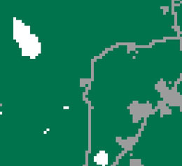
Land cover map is a map of ground features that can be differentiated on a scene (e.g., urban areas, bare land, pasture, etc.). LFT utilizes any land cover recoded to three classes.
 |
 |
Input land cover map must be in a GRID, IMG or TIFF format.