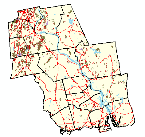
This map shows current (2006) land use for areas in the study area classified as agriculture in 1970. The land use was determined by visual inspection of 2006 aerial images. Click here to view charts describing land use change by town between 1970 and 2006. Click on any of the towns in the map below to view a more detailed map for the town. Click here to download a PDF file that contains a map of the entire study area. (Note: the PDF file is best viewed using Abode Reader 7. It contains layers of map data that can be turned on/off for visualization purposes.)
Click on a placemark to view a photograph taken at a 1970 agricultural area. Blue placemarks indicate areas that were still agriculture in 2006. Red placemarks indicate areas that have been developed since 1970. Only towns in the northern portion of the study area have been field referenced. Check back soon for updates!