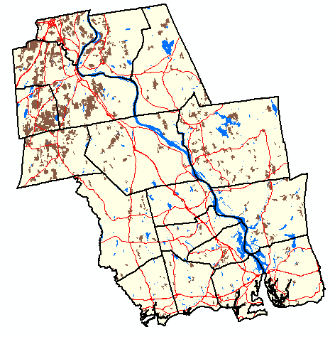
This map shows areas of active agriculture (e.g. cropland) that existed in 1970 in the 17 town study area. These data were compiled from a statewide 1970 land use/land cover inventory prepared by the Connecticut Department of Financial Control and available for viewing at the University of Connecticut's MAGIC website. Only sites of 10 acres or more were included in the 1970 inventory. Click here for a chart of the percent area of each town that was used for agriculture in 1970. Click on any town on the map below to obtain a more detailed map showing 1970 and 2006 agricultural areas and associated data.
If you have installed Google Earth, you can view the areas used for agriculture in 1970 by clicking here.![]() This will open Google Earth and will display agricultural areas using a transparent fill color. The background images are from several imagery providers and are from 2005 and 2006.
This will open Google Earth and will display agricultural areas using a transparent fill color. The background images are from several imagery providers and are from 2005 and 2006.