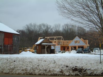
This study was designed to determine what has happened to land that was actively used for agriculture in 1970 in the Midstate and Connecticut River Estuary Regional Planning Areas. Agricultural areas in the study area were digitized into a geographic information system using a 1970 statewide land use map. The map included areas of active agriculture that were 10 acres or more in size. The research team also investigated the distribution of agricultural soils to determine the extent to which they were and continue to be used to support agriculture. A variety of summary statistics for the entire study area and for individual towns are being produced and can be viewed by following the links below.

If you have installed Google Earth, you can view the areas used for agriculture in 1970 by clicking here.![]() This will open Google Earth and will display agricultural areas using a transparent fill color. The background images are from several imagery providers and are from 2005 and 2006.
This will open Google Earth and will display agricultural areas using a transparent fill color. The background images are from several imagery providers and are from 2005 and 2006.