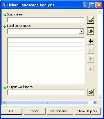
A feature class containing a single polygon defining the study area is required for the tool to define the extent of the analysis. The maps will not be clipped to the study area but all quantitative metrics (i.e. areas) calculated by the tool will correspond to the region within the study area polygon.
One land cover map should be specified for each time period of interest. The land cover map should contain three classes with the corresponding pixel values:
The input land cover data must be input in chronological order when specifying the tool parameters.
The tool will output several files to the specified output workspace. For each input land cover map, two output maps will be generated: 1) the urbanized area map, and 2) the urban footprint map. For every two consecutive land cover maps, a map of the new development classifications will be generated.